EPISODE · Jul 25, 2024 · 1 MIN
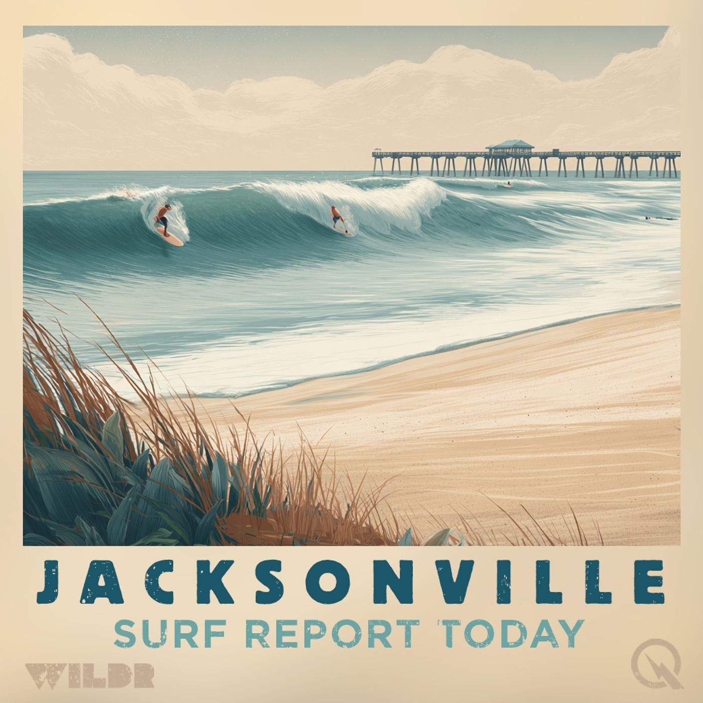
Jacksonville, FL Surf Report for 07-25-2024
from Surf Report for Jacksonville Florida · host Inception Point AI
Hey there beachgoers! Welcome to your Northeast Florida and Southeast Georgia surf zone forecast brought to you by the National Weather Service in Jacksonville. Let's dive into the waves and weather awaiting you over the next few days! Today, we're looking at a moderate risk of rip currents, with surf heights ranging from 2 to 3 feet. The thunderstorm potential is high, so keep an eye out for changing skies. The UV index is very high, so slather on that sunscreen - we're talking a chance of showers and thunderstorms with highs in the upper 80s. And hey, the water temperature is a comfy 75 to 80 degrees. Moving on to Friday, we're still in for a moderate rip current risk with similar surf heights. Expect more thunderstorms likely, keeping the beach vibes interesting. Highs will be in the upper 80s with a max heat index of up to 105. Don't forget your sunnies! Looking ahead to the weekend, Saturday and Sunday will see surf heights around 2 to 3 feet with more thunderstorms likely. Highs in the upper 80s will keep you toasty, while winds shift around. Monday brings a chance of showers and thunderstorms but with slightly smaller surf heights of 1 to 2 feet. So there you have it, folks! Stay safe out there in the waves, keep an eye on the tides, and always respect the power of the ocean. This has been a Quiet Please Studios audio creation with the help of AI. Please subscribe and never miss a Swell! Thank you for listening.
NOW PLAYING
Jacksonville, FL Surf Report for 07-25-2024
No transcript for this episode yet
Similar Episodes
Mar 26, 2026 ·1m
Jan 2, 2026 ·47m
Dec 21, 2025 ·46m