EPISODE · Mar 20, 2026 · 3 MIN
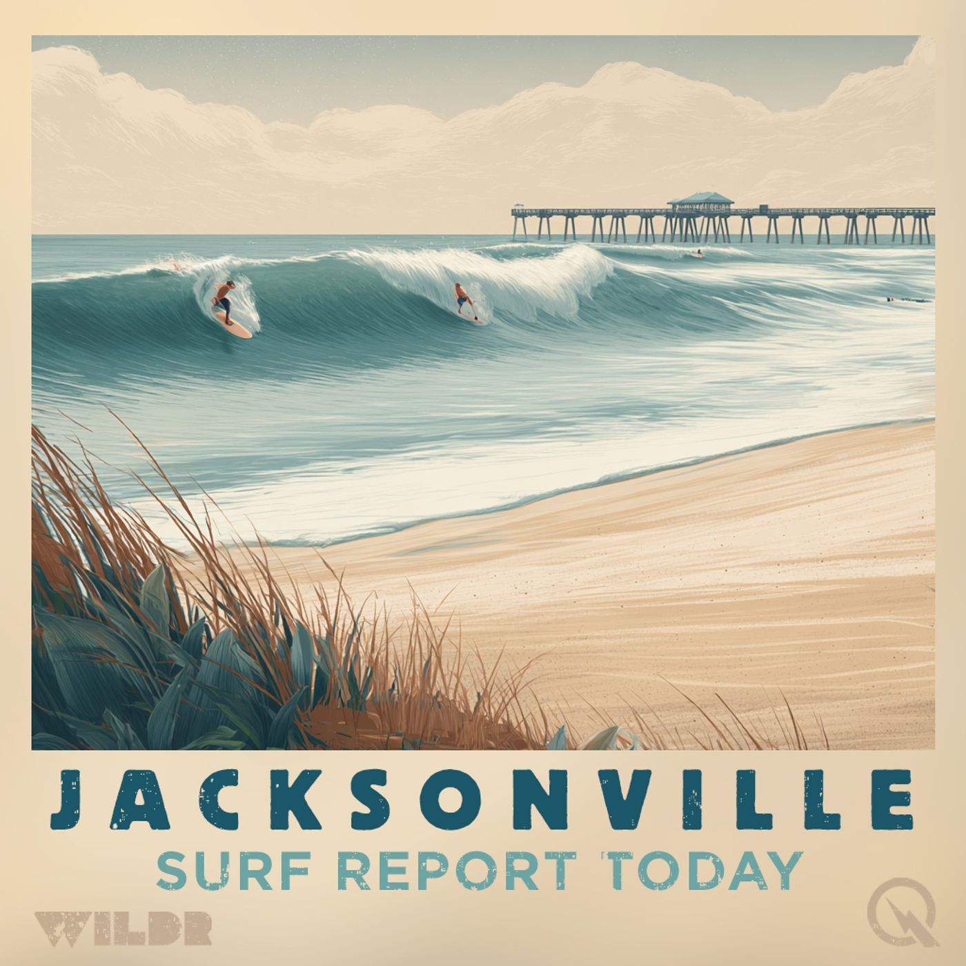
Northeast Florida Surf Forecast Friday March 20 High Rip Current Risk Three to Four Foot Waves
from Surf Report for Jacksonville Florida · host Inception Point AI
Good afternoon, this is your Northeast Florida and Southeast Georgia Surf Zone Forecast for Friday, March 20th, 2026. We're tracking some seriously gnarly conditions out there right now, especially if you're thinking about heading into the water this afternoon. A HIGH RIP CURRENT RISK is in effect until 11 PM tonight across Northeast Florida beaches including Jacksonville Beach, St. Augustine, Fernandina Beach, and the surrounding areas. We're not kidding around here – life-threatening rip currents are likely in the surf zone, so if you're not an experienced swimmer, best to stay on dry land today. Here's what to expect for the rest of today: Three to four foot waves are rolling in under sunny skies with northeast winds around 15 mph. The water temperature is sitting at a chilly 60 to 65 degrees, so a wetsuit is definitely your friend. We've got high UV levels, so slather on that sunscreen, and fortunately, there's no thunderstorm activity expected. Low tide is hitting various beaches between 3:43 and 4:26 PM this afternoon. Down in Southeast Georgia, things are slightly calmer but still noteworthy. We've got a MODERATE RIP CURRENT RISK in effect for the Brunswick and St. Marys areas. Two to three foot waves, similar sunny conditions, but lighter winds at just 5 to 10 mph from the northeast. Water temps are a touch colder at 57 to 62 degrees. Low tide sweeps through between 4:17 and 4:39 PM. Now let's look ahead to Saturday, and this is where things get interesting. Northeast Florida is in for an upgrade in swell. We're expecting four to five foot waves under blue skies with the rip current risk dropping to MODERATE, which is better but still deserving of your respect. Winds will turn west and lighten up to just 5 to 10 mph, and temperatures will climb nicely into the upper 70s. High tides roll through in the morning between 10:25 and 11:21 AM, with lows in the afternoon between 4:26 and 5:10 PM. Southeast Georgia will see similar two to three foot conditions Saturday with the same moderate rip risk and west winds. Temps will also reach the upper 70s. High tides in the morning between 10:39 and 11:32 AM. Looking at the extended outlook, Sunday shapes up as another beauty. Northeast Florida will hold those four to five foot waves under sunny skies with highs around 80 degrees and light southwest winds. The rip current risk will likely ease further. Down south, expect two to three footers with similar conditions. Monday brings a shift in the pattern. Northeast Florida's swell drops to two to three feet with lighter conditions continuing. Southeast Georgia drops to just one to two footers. Both areas stay sunny and warm in the lower to mid 80s. Tuesday, things change. A coastal low pressure system will kick up the swell again to three to four feet across Northeast Florida, four footers down in Southeast Georgia. Northeast winds pick up to around 15 mph, and it turns cooler with highs only in the upper 60s to lower 70s. There's a slight chanc
NOW PLAYING
Northeast Florida Surf Forecast Friday March 20 High Rip Current Risk Three to Four Foot Waves
No transcript for this episode yet
Similar Episodes
Mar 26, 2026 ·1m
Jan 2, 2026 ·47m
Dec 21, 2025 ·46m