EPISODE · Mar 3, 2026 · 4 MIN
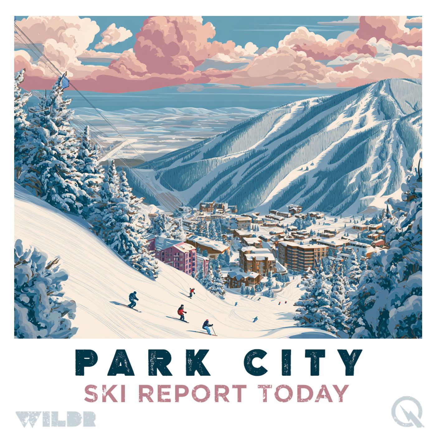
Park City's Powder Party: Two Storm Systems Set to Transform the Wasatch This Week
from Park City Mountain Resort, Utah Ski Report · host Inception Point AI
Ski Report for Park City Mountain Resort, Utah Daily Ski Conditions for Park City Mountain Resort, Utah Park City Mountain is gearing up for an absolute powder party this week, and if you're thinking about making the drive up to Utah's most legendary ski destination, now is the time to book your trip. We're talking about two distinct storm systems rolling through the Wasatch Range that are going to absolutely transform the snow conditions over the next five days. Let's start with what's happening right now. March kicked off with unseasonably warm temperatures—we're talking 40s at mid-mountain—but that's about to change dramatically. A cold front is moving through this evening and into tomorrow morning, bringing the first round of snow to the mountains. The Cottonwood Canyons, where the deep powder lives, are expecting the most action with six to eleven inches of new snow, while the Park City base and town area will see lighter accumulation at trace amounts to around an inch. Deer Valley and Park City Mountain Resort proper are forecast to pick up three to seven inches, which is definitely solid for early March. The northern Wasatch resorts like Powder Mountain and Snowbasin are looking at four to nine inches. When this cold front moves through Monday evening and into Tuesday morning, you might even see some thunder and graupel mixed in with the snow—pretty wild for the Wasatch. Here's where it gets really exciting: a second, more powerful system is lining up for late Wednesday night through Friday night, and this one could be even better than the first round. The models are showing decent agreement on this one, with potential for around another foot of snow, and crucially, much colder air will be pushing in behind it. This means snow levels will drop significantly, so you'll be looking at quality pow from base to summit. Alta and Snowbird are projected to pick up fourteen to twenty-two inches through early Saturday, while Park City Mountain should see four to eight inches as the colder air locks in, with conditions improving as the system develops. The current forecast calls for winds to shift to northwesterly fairly quickly after the first storm passes, which will likely push snow around on exposed terrain but also help build some really fun wind-loaded features. By Thursday, you're looking at gusty west-to-northwest ridge winds that will keep the snow mobile and create some interesting terrain options for riders who know how to read the mountain. Temperature-wise, Park City's historical March averages sit around 37 degrees Fahrenheit during the day and dropping to around 20 degrees at night, but with this cold front arriving, you can expect much chillier conditions, especially Thursday through Friday when the colder air mass really settles in. That's perfect snow-preservation weather. In terms of what's open and operational, Park City Mountain Resort is a massive playground with 41 lifts serving over 330 runs across more than 7,300 acres This content was created in partnership and with the help of Artificial Intelligence AI.
What this episode covers
Ski Report for Park City Mountain Resort, Utah Daily Ski Conditions for Park City Mountain Resort, Utah Park City Mountain is gearing up for an absolute powder party this week, and if you're thinking about making the drive up to Utah's most legendary ski destination, now is the time to book your trip. We're talking about two distinct storm systems rolling through the Wasatch Range that are going to absolutely transform the snow conditions over the next five days. Let's start with what's happening right now. March kicked off with unseasonably warm temperatures—we're talking 40s at mid-mountain—but that's about to change dramatically. A cold front is moving through this evening and into tomorrow morning, bringing the first round of snow to the mountains. The Cottonwood Canyons, where the deep powder lives, are expecting the most action with six to eleven inches of new snow, while the Park City base and town area will see lighter accumulation at trace amounts to around an inch. Deer Valley and Park City Mountain Resort proper are forecast to pick up three to seven inches, which is definitely solid for early March. The northern Wasatch resorts like Powder Mountain and Snowbasin are looking at four to nine inches. When this cold front moves through Monday evening and into Tuesday morning, you might even see some thunder and graupel mixed in with the snow—pretty wild for the Wasatch. Here's where it gets really exciting: a second, more powerful system is lining up for late Wednesday night through Friday night, and this one could be even better than the first round. The models are showing decent agreement on this one, with potential for around another foot of snow, and crucially, much colder air will be pushing in behind it. This means snow levels will drop significantly, so you'll be looking at quality pow from base to summit. Alta and Snowbird are projected to pick up fourteen to twenty-two inches through early Saturday, while Park City Mountain should see four to eight inches as the colder air locks in, with conditions improving as the system develops. The current forecast calls for winds to shift to northwesterly fairly quickly after the first storm passes, which will likely push snow around on exposed terrain but also help build some really fun wind-loaded features. By Thursday, you're looking at gusty west-to-northwest ridge winds that will keep the snow mobile and create some interesting terrain options for riders who know how to read the mountain. Temperature-wise, Park City's historical March averages sit around 37 degrees Fahrenheit during the day and dropping to around 20 degrees at night, but with this cold front arriving, you can expect much chillier conditions, especially Thursday through Friday when the colder air mass really settles in. That's perfect snow-preservation weather. In terms of what's open and operational, Park City Mountain Resort is a massive playground with 41 lifts serving over 330 runs across more than 7,300 acres This content was created in partnership and with the help of Artificial Intelligence AI.
NOW PLAYING
Park City's Powder Party: Two Storm Systems Set to Transform the Wasatch This Week
No transcript for this episode yet
Similar Episodes
No similar episodes found.