
EPISODE · Feb 21, 2025 · 32 MIN
Preston Island Soundwalk
from Soundwalk · host Chad Crouch
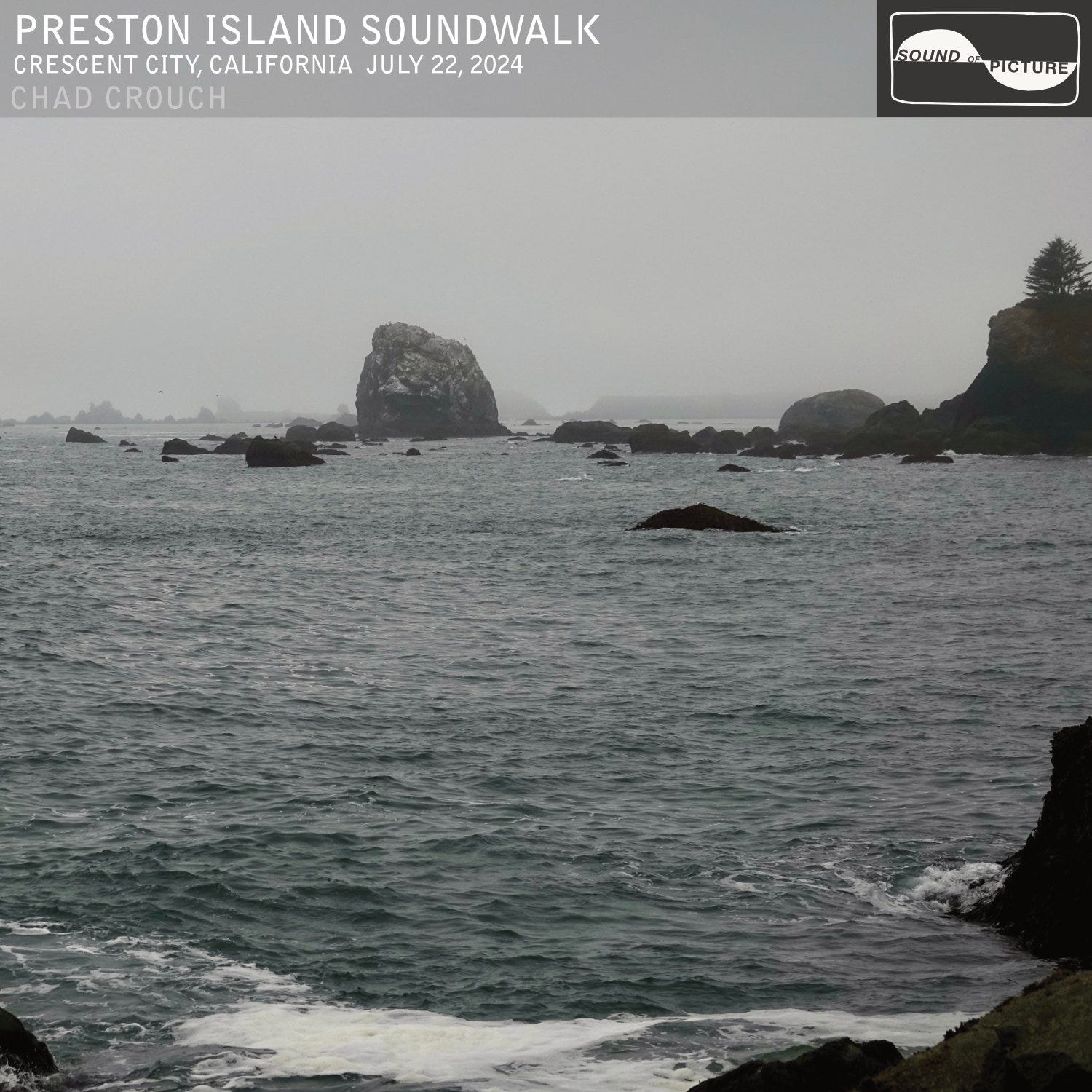
I haven’t yet said this, but my intention with this and the previous three recordings was a hopscotch survey of Pacific Coast soundscapes. To recollect now, these have been Yoakam Point on the Oregon Coast, Copalis Ghost Forest on the Washington Coast, Keahou on the Big Island of Hawaii and now Preston Island in Crescent City, on the Northern California Coast.This reflection on Preston Island leads me to ponder sites along the lower Columbia River at length, for reasons which will soon reveal themselves.Preston Island is weird. For starters, it’s not what anyone would call an island. You can walk right out onto its strange rocky surface from the mainland. The view from the island is breathtaking though, and I thought it made a better album cover than the island itself: The island is relatively flat, but also boulder-strewn and cracked. When I visited, it was foggy, and I felt like I was on the surface of another planet. Something about it seemed unnatural:It all clicked when I found this historical photo:Preston Island was carted off. It was mined down to a nub. Let’s get our bearings. Here’s an 1880’s Crescent City map, and a modern satellite photo. (I guess cardinal north pointing up wasn’t yet the rule.)On the map you’ll see Preston Island clearly drawn as a landmass, and Hall’s Bluff, appearing much less prominently than it does today. I outlined the locations on the satellite image. Here, all the rock contained in those geographical features was mined and dumped in the ocean to create the jetty you see on the upper right of the satellite image. They really moved mountains.This is what Preston Island used to look like, and here it is today, courtesy of Google Street View:Our soundwalk takes us from West 5th Street in Crescent City, over to the beach and up over what’s now called Half Butte, to about where this old photo of Hall’s Bluff (aka Lover’s Rock) was taken in 1876. Look at the tiny figures on top for a sense of scale:The massive Lover’s Rock headland, was also carted off to build the jetty. It’s harder to match the original photo vantage point with Street View, but it’s also just completely gone. But let’s get back to Preston Island, that weird scab-land of a place. Let’s take a closer look at it, because it gives our soundwalk such unique character about 17 minutes in. At a glance, it seems lifeless. A green hue, coming from chalky veins in the rock, adds to the otherworldliness of the landscape.Tide pools form on the perimeter, among the cracks and fissures in the rock substrate. It’s here that I place my recording hat down and the soundscape is instantly transformed. The skitter of crabs and the capillary clicking sounds of tiny shellfish erupt to fill the high frequencies, while the surf sound is attenuated by the topography of the rocks.It’s another world. A 2021 article in the Bandon Western World states, “Preston Island has a long history in Crescent City. Originally Preston Peak, the area was a sacred site for the Tolowa Nation.” It is not well known, but the Tolowa were the subject of the most persistent and possibly worst massacres of Native Americans in the USA, starting in 1853, in the Crescent City area. Now, I couldn’t corroborate the name “Preston Peak”, but I have to admit I was not surprised to hear that a sacred place to Native Americans was destroyed. There have been others.Pillar RockConsider Pillar Rock (briefly “Pilot Rock”) in the Columbia River. Once a monolith upwards of 75 feet tall, it was dynamited and flattened at the 25 foot level to install a navigation light:The Chinookan name for the monolith was Talapus. A cannery built nearby in 1877 used a likeness similar to Talapus for its canned salmon label, Pillar Rock brand. The rock was dynamited by 1922 when, according to the shipping news, a red navigation light was established. Like Talapus, the spring Chinook fishery in the Columbia was a diminished remnant of what it once was when Pillar Rock Cannery suspended operations in 1947.In a surprising epilogue Pillar Rock is still an actively used trade mark today, in 2025. The company now fishes the waters of Alaska for wild Sockeye to fill the modern day tins.It’s remarkable how Euro-Americans changed the landscape and practically wiped out the fishery, but the brand is the thing that perseveres. What does it say about us that this is the way things are?Let’s consider the intriguing story of Mount Coffin, up the Columbia River about 40 river miles.Mount CoffinThe geological feature that was first described to the historical record by Lieutenant William R. Broughton in 1792, and given the name “Mount Coffin”, was a Chinookan canoe burial ground. It would have appeared much the same a half century later, when Charles Wilkes visited in 1841, but quite different than the 1900 image above. Imagine, if you will, thousands of dugout cedar canoes perched in the trees on the prominent outcrop, about five feet above ground, in varying states of decay, all with bows pointed more or less toward the ocean. Within these canoes lay the interned bodies of Chinookans of the Skilloot tribe, wrapped in cedar blankets with their belongings placed beside them. That scene came to a swift end in 1841.The U.S. Exploring Expedition, led by Charles Wilkes, camped on Mount Coffin in 1841. When the men accidentally let a campfire spread, it destroyed an estimated 3,000 burial canoes. The Chinookan Indians were distressed to discover that their burial site had been destroyed by the negligence of whites and, according to visiting artist Paul Kane, “would no doubt have sought revenge had they felt themselves strong enough to do so.” (Stealing from The Dead, Oregon Historical Quarterly)Many Upper Chinookan villages were by 1841 entirely depopulated following devastating waves of malaria in the early 1830’s, so Paul Kane’s observation rings true.Within a century this lowland was completely transformed. The largest lumber mill in the world was built upriver from Mount Coffin.Mount Coffin was completely dynamited and quarried, beginning in 1929. The site is a now home to a chemical plant. Flat as a pancake.Finally let’s consider the monolith in the heart of the Columbia Gorge that few realize barely escaped dynamite. So we are told…Beacon RockTo the natives it was Che-che-op-tin. When Lewis & Clark mapped the area in 1805 it was referred to as “Beaten Rock” and on return a year later “Beacon Rock”. Later, the 1841 Wilkes Exploring Expedition labelled it “Castle Rock”, which stuck for the better part of a century. Since 1916, it’s been Beacon Rock.Just west of Beacon Rock was a large village Captain Lewis in 1806 called Wah-clel-lah (a Watlala winter village):This village appears to be the winter station of the Wah-clel-lahs and Clahclellars…14 houses remain entire but are at this time but thinly inhabited, nine others appear to have been lately removed, and the traces of ten or twelve others of ancient date were to be seen in the rear of their present village. There was also another village at the very foot of beacon rock. Traces of it remained visible to the trained eye into the 1950’s.“BIG BLAST WILL WRECK IT”“Castle Rock to Go” and “Whole Rock is Doomed” read the subheadings in a March 16th, 1906 article in The Oregonian. The article outlined how the owners, a coterie of eight businessmen including Dan Kerns, acting as the Columbia Construction Company, had already cut three 20 to 30 ft. tunnels under the southern aspect of the monolith in preparations to dynamite “the shoulder” of the rock and quarry the stone for building material, eventually removing it entirely. A Wikipedia entry states (without citation), “The United States Army Corps of Engineers planned to destroy the rock to supply material for the jetty at the mouth of the Columbia.” This appears to be incorrect. The Army Corps didn’t have that plan. The Columbia Construction Company purported to have a plan to mine an initial two million tons for building material (possibly to include jetty material—there were no contracts) in 1906. Columbia jetty work began 20 years prior to that. The Columbia Construction Company was taken to court, and a jury sided with Portland & Seattle Railway, who argued the tunnels were part of an elaborate ruse to “claim damages from $100,000 to $500,000” from lost mining activity due to the rail line going through their intended quarry site. According to the plaintiffs, it was just a scheme to get the railway to pay dearly for the right of way. The jurors dashed that plan, stipulating a $5000 settlement. Was it an elaborate ruse? Or was the jury predisposed not to trust city businessmen? What was clear, according to The Oregonian, was that, “clergymen, leading citizens, women, teachers, and all classes in Portland and throughout the state were horrified as the proposed destruction of such a majestic landmark.” “I should judge Castle Rock contains 10 million tons of first class building stone,” Kerns said in 1906. Interestingly, that wouldn’t have been enough for the massive Columbia jetty system, which ultimately required 13 million tons of rock, when competed in 1939, after half century of construction. Henry J. Biddle took ownership of Beacon Rock from the Columbia Construction Company in 1915, under the condition it would be preserved, and set about realizing his dream to build a trail to the summit.Henry J. Biddle purchased the rock in 1915 for $1 and during the next three years constructed a trail with 51 switchbacks, handrails and bridges. The three-quarter mile trail to the top, completed in April 1918, leads to views in all directions. (Wikipedia)Thanks for listening and reading. I’m thankful for your attention. Preston Island Soundwalk is available on all streaming platforms (Spotify, Apple, Tidal, Amazon, YouTube…) on Friday, February 21st.Thanks for reading Soundwalk! This post is public so feel free to share it. This is a public episode. If you'd like to discuss this with other subscribers or get access to bonus episodes, visit chadcrouch.substack.com/subscribe
NOW PLAYING
Preston Island Soundwalk
No transcript for this episode yet
Similar Episodes
Mar 27, 2026 ·46m
Nov 28, 2025 ·25m
Nov 28, 2025 ·20m
Nov 28, 2025 ·23m
Nov 28, 2025 ·22m
Sep 9, 2025 ·28m