EPISODE · May 5, 2026 · 2 MIN
Northeast Florida Southeast Georgia Surf Forecast Tuesday through Saturday May 5 to 9 Rip Current Warning
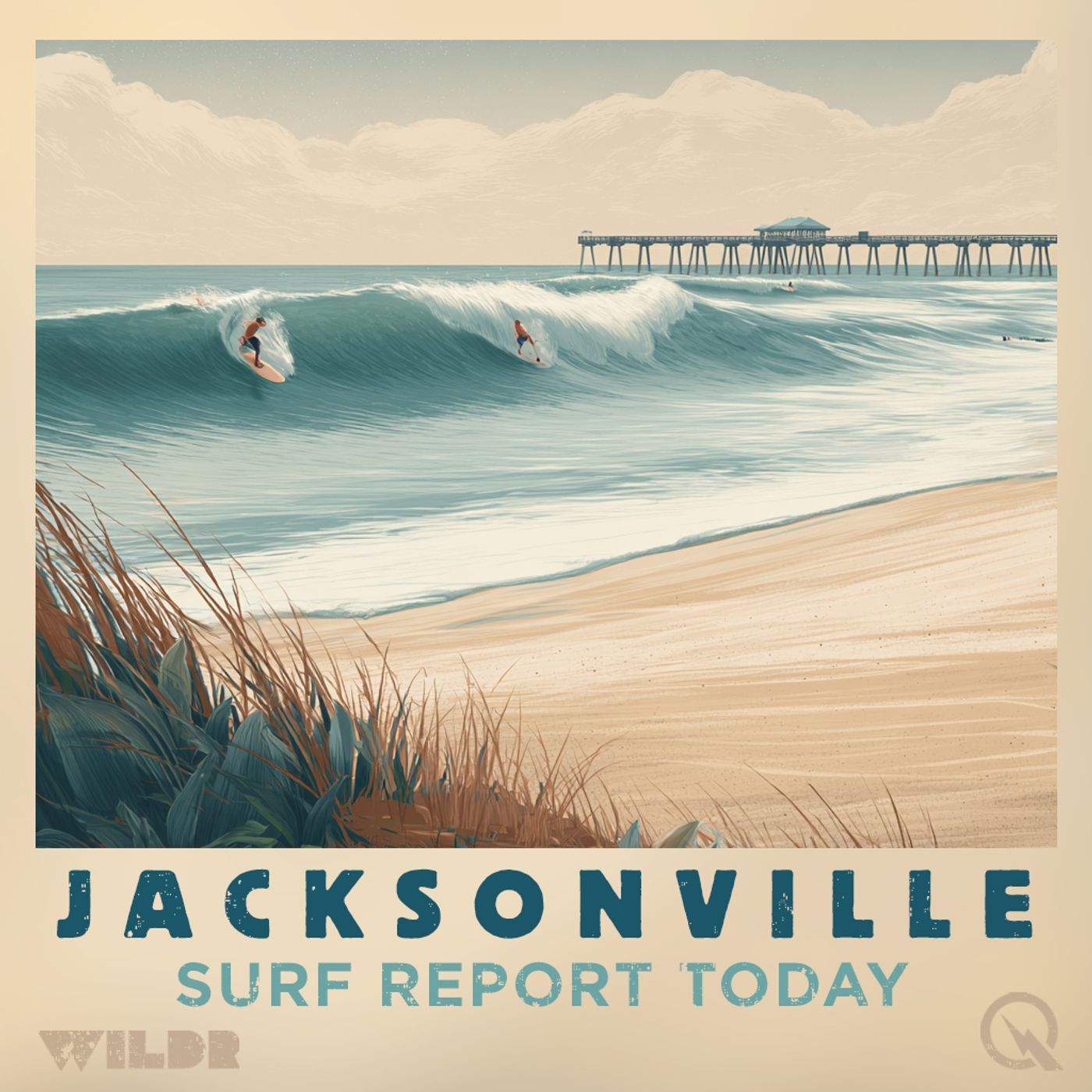
from Surf Report for Jacksonville Florida · host Inception Point AI
Good morning, this is your Northeast Florida and Southeast Georgia surf zone forecast for Tuesday, May 5th through Saturday, May 9th. Let's start with today's conditions. If you're planning a beach day, you're in for a mostly sunny experience with highs around 80 degrees. The water is warming up nicely, sitting in the low to mid 80s along the Florida coast, though down in the Georgia beaches you're looking at the lower 70s. Winds will be light from the east southeast this morning around 10 miles per hour, then shift to the east this afternoon with speeds picking up to around 15 miles per hour. Surf heights will be modest at 2 to 3 feet along Florida's beaches and around 2 feet down in Georgia. No thunderstorms are expected, and the UV index is very high, so definitely get that sunscreen on before heading out. Now here's the important part about safety. There is a moderate risk of rip currents in effect for all areas today. That means life-threatening rip currents are possible in the surf zone, so pay attention to conditions and know how to identify and escape these currents if you find yourself in one. Moving to Wednesday, conditions remain pretty similar. We'll see partly cloudy skies with highs climbing into the mid 80s. Winds start out light from the south around 10 to 15 miles per hour, then shift southeast and strengthen to 15 to 20 miles per hour during the late afternoon. Surf heights stay consistent at 2 to 3 feet in Florida and around 2 feet in Georgia. The moderate rip current risk continues, so stay alert in the water. No thunderstorms are expected Wednesday either. Looking ahead to Thursday, surf heights drop to 1 to 2 feet across the region. Expect mostly sunny to partly sunny skies with highs around 90 degrees. Winds shift to the southwest at 10 to 15 miles per hour. Down in Georgia there's a slight chance of showers and thunderstorms developing. Friday brings a change in the pattern. Highs will be noticeably cooler, dropping to around 80 degrees in Florida and the upper 70s in Georgia. Skies turn mostly cloudy with a chance of showers and thunderstorms developing. Winds shift to the northeast around 10 miles per hour. This is definitely not a day for extended water time if thunderstorms are in the area. Finally, Saturday looks fairly similar to Friday with mostly cloudy skies, a chance of showers and thunderstorms, and highs in the lower 80s. Winds will be light from the west around 5 to 10 miles per hour. Surf heights remain at 1 to 2 feet. Bottom line, make the most of today and Wednesday while conditions are favorable. After that, a weather system moves in Friday bringing thunderstorm chances and cooler temperatures that will stick around through the weekend. For more http://www.quietplease.ai Get the best deals https://amzn.to/3ODvOta
NOW PLAYING
Northeast Florida Southeast Georgia Surf Forecast Tuesday through Saturday May 5 to 9 Rip Current Warning
No transcript for this episode yet
Similar Episodes
Mar 26, 2026 ·1m
Jan 2, 2026 ·47m
Dec 21, 2025 ·46m