EPISODE · Apr 7, 2026 · 3 MIN
Outer Banks Surf Forecast Tuesday April 7th Wednesday April 8th Rip Current Warning High Surf
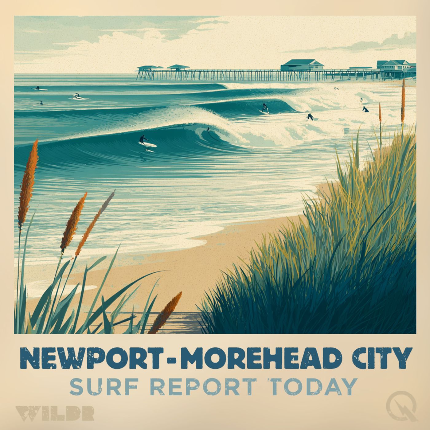
from Surf Report - Newport - Morehead City NC · host Inception Point AI
Good morning, this is your Outer Banks surf forecast for Tuesday, April 7th through Wednesday, April 8th. Today looks like a pretty mellow day out there. We're expecting mostly cloudy skies with light southwest winds around 5 miles per hour that'll pick up to about 15 from the north this afternoon. Surf heights will be modest, ranging from 2 to 4 feet depending on where you are along the coast. Water temps are still chilly, sitting in the lower 50s up north and climbing into the mid 60s as you head south toward Ocracoke and beyond. Now, here's the thing worth paying attention to today. A Moderate Rip Current Risk is in effect from 8 AM this morning through this evening for the Northern Outer Banks, which includes Duck, Kitty Hawk, Kill Devil Hills, and Nags Head. That means life-threatening rip currents are possible in the surf zone. If you're heading out, know where you are, know how to escape a rip current by swimming parallel to shore, and consider staying on the beach to watch the waves instead of getting in the water. Interestingly, it's a bit of a mixed bag as you head south. Hatteras Island north of Cape Hatteras is under a Beach Hazards Statement and has a High Rip Current Risk today, but south of Cape Hatteras it drops to low. Same goes for East Carteret down in the Cape Lookout area. Meanwhile, Ocracoke Island, West Carteret, and the Onslow beaches are all looking at low rip current risk today. The UV Index will be high across the board, so slather on that sunscreen. Now let's talk about tomorrow because things are about to get interesting. Wednesday is shaping up to be a much more dynamic day. We're looking at a significant swell increase with mostly sunny skies and northeast winds cranking up to around 20 to 30 miles per hour depending on your location. Surf heights are going to jump considerably. The Northern Outer Banks will see 6 to 8 feet. Hatteras Island north of Cape Hatteras will be pumping 7 to 9 feet. East Carteret's Core Banks will also hit that 7 to 9 foot range. Even the southern beaches aren't being left out with 4 to 6 feet expected at most locations. But here's the real alert. The rip current risk is escalating dramatically across much of the forecast area. We're looking at High Rip Current Risk for the Northern Outer Banks, north of Cape Hatteras, and the Core Banks area. That means life-threatening rip currents will likely be in the surf zone. Moderate risk conditions are expected at Ocracoke Island and the Onslow beaches. Only West Carteret maintains a Low risk designation. Temperatures will be cooling down tomorrow too, dropping from today's upper 50s and 60s down to the low to mid 50s across most of the Outer Banks. If you're thinking about getting in the water Wednesday, please take the rip current risk seriously. Those stronger northeast winds combined with larger swell will create powerful and potentially dangerous conditions. If you do venture out, go with a buddy, know the signs of a rip current, and d
NOW PLAYING
Outer Banks Surf Forecast Tuesday April 7th Wednesday April 8th Rip Current Warning High Surf
No transcript for this episode yet
Similar Episodes
No similar episodes found.