EPISODE · Apr 8, 2026 · 3 MIN
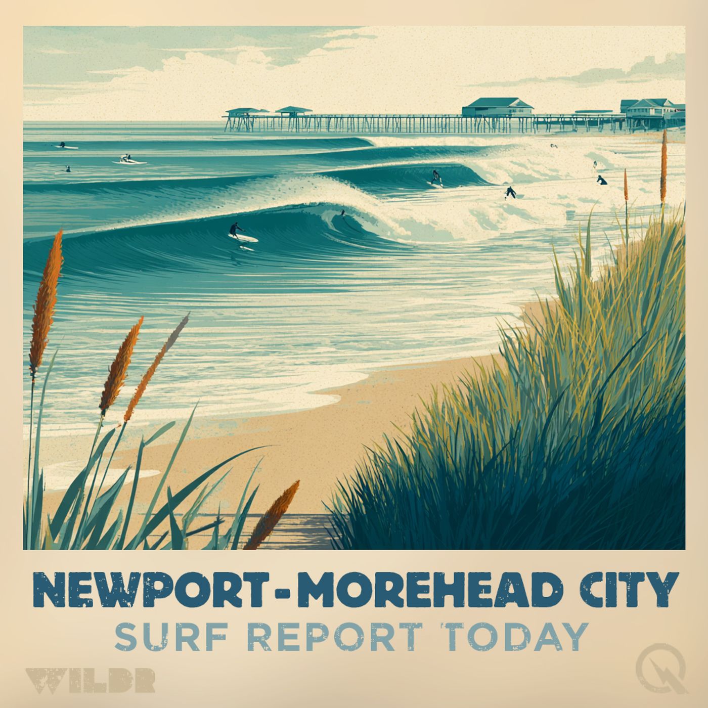
Outer Banks Surf Forecast Wednesday April 8th 2026 High Surf Advisory Rip Current Risk
from Surf Report - Newport - Morehead City NC · host Inception Point AI
Good morning, this is your Outer Banks surf forecast for Wednesday, April 8th, 2026. A Beach Hazards Statement is in effect from 8 AM this morning through this evening, with a High Surf Advisory extending from noon today through 11 AM Thursday. Conditions are ramping up across the region, so pay close attention to these alerts if you're heading to the beach. Starting with the Northern Outer Banks from Duck through Nags Head, we're looking at 6 to 9 foot surf today with high rip current risk across the board. It'll be sunny until 5 PM, then partly cloudy, with northeast winds around 20 miles per hour. Water temps are sitting in the lower 50s, so a quality wetsuit is essential. The UV index is running high, so sunscreen is a must even on cooler days like today. Expect a high temperature in the lower 50s. Heading down to Hatteras Island, conditions are a bit more robust. North of Cape Hatteras, we're talking 7 to 10 foot surf with high rip current risk and breezy northeast winds at 20 to 25 miles per hour. South of Cape Hatteras, the surf drops to 4 to 6 feet, though rip current risk remains high in both zones. Water temps are a touch warmer here in the lower 60s, and it'll be mostly sunny throughout the day. Ocracoke Island is looking at 4 to 7 foot surf with high rip current risk. Northeast winds will be breezy around 25 miles per hour, gusting stronger at times. It'll be sunny until 4 PM, then partly cloudy. Water temps are in the mid 60s, and the high will reach the mid 50s. Over at East Carteret, conditions split between Core Banks and Shackleford Banks. Core Banks will see 6 to 9 foot waves with high rip current risk, driven by windy northeast winds around 30 miles per hour. Shackleford Banks, meanwhile, will be much calmer with just 2 to 3 foot surf and low rip current risk. Water temps here are in the upper 60s, and it'll be sunny all day. West Carteret around Fort Macon and Atlantic Beach is the calmest zone today with 2 to 4 foot surf and low rip current risk. Northeast winds around 20 miles per hour, sunny skies, and water temps in the lower 60s make this a more approachable option if you want gentler conditions. Coastal Onslow is in between, with 3 to 5 foot surf and moderate rip current risk. A Moderate Rip Current Risk statement is in effect from 8 AM through this evening. Northeast winds around 20 miles per hour, sunny conditions, and lower 60s water temps. Now looking ahead to Thursday, most areas will see modest improvement but conditions remain elevated. The Northern Outer Banks will drop to 6 to 7 foot surf with high rip current risk still in the forecast. Hatteras Island north of Cape Hatteras will see 6 to 8 foot surf with high rip current risk, while south of the Cape it'll be 4 to 6 feet with moderate risk. Ocracoke Island will have 4 to 6 foot surf with high rip current risk. Core Banks at East Carteret will drop to 5 to 7 feet with high rip current risk, while Shackleford Banks stays around 2 feet with low risk. Wes
NOW PLAYING
Outer Banks Surf Forecast Wednesday April 8th 2026 High Surf Advisory Rip Current Risk
No transcript for this episode yet
Similar Episodes
No similar episodes found.