
EPISODE · Oct 21, 2024 · 9 MIN
17 years of land use and land cover data for India
from Got Milk? - The Indian Dairy Context. · host SHUNYA Agritech
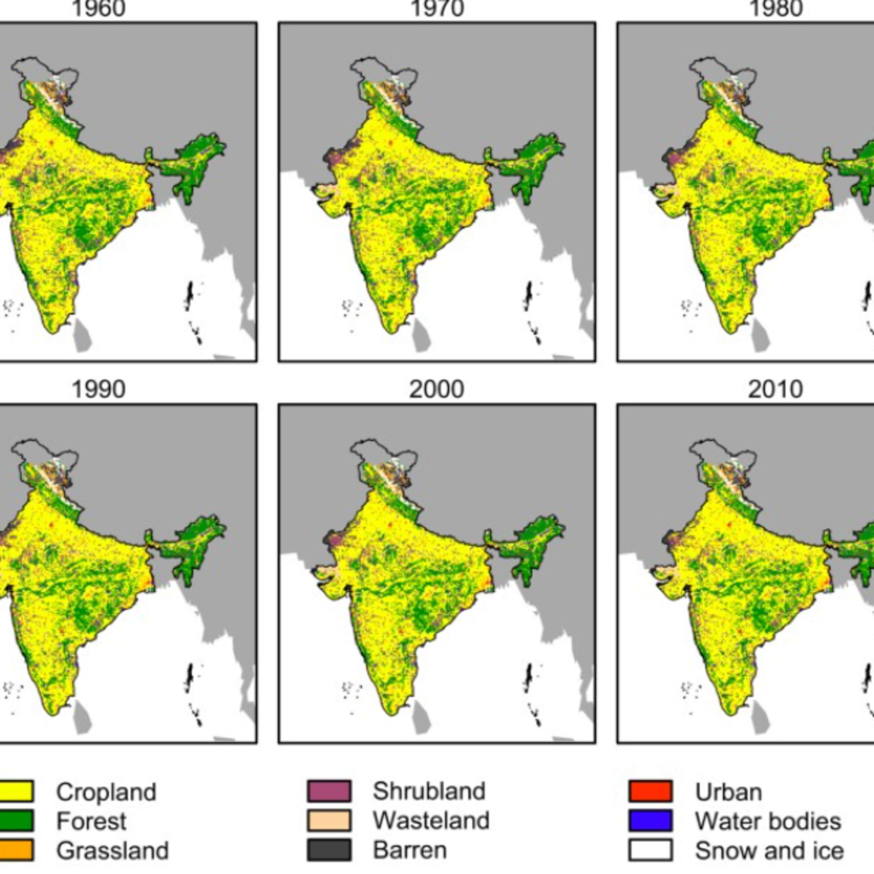
The episode is a discussion on data collected by the National Remote Sensing Centre (NRSC) using satellite imagery. The atlas presents maps of the entire country and provides detailed statistical information about land cover changes over time. The NRSC has been working on this project since 2005-2006 as part of the Natural Resources Census (NR-CENSUS) initiative to monitor and understand the dynamics of land use and land cover in India. This information is crucial for policymaking, resource management, and supporting research efforts. The atlas also presents key findings and analyses of the data, highlighting significant trends in agricultural practices, urbanization, and the relationship between shifting cultivation and woodland cover.
Embed this episode
NOW PLAYING
17 years of land use and land cover data for India
No transcript for this episode yet
Similar Episodes
No similar episodes found.
Similar Podcasts
No similar podcasts found.