
EPISODE · Feb 27, 2017 · 4 MIN
18. Maps and the 20th Century at the British Library
from Museum Archipelago · host Ian Elsner
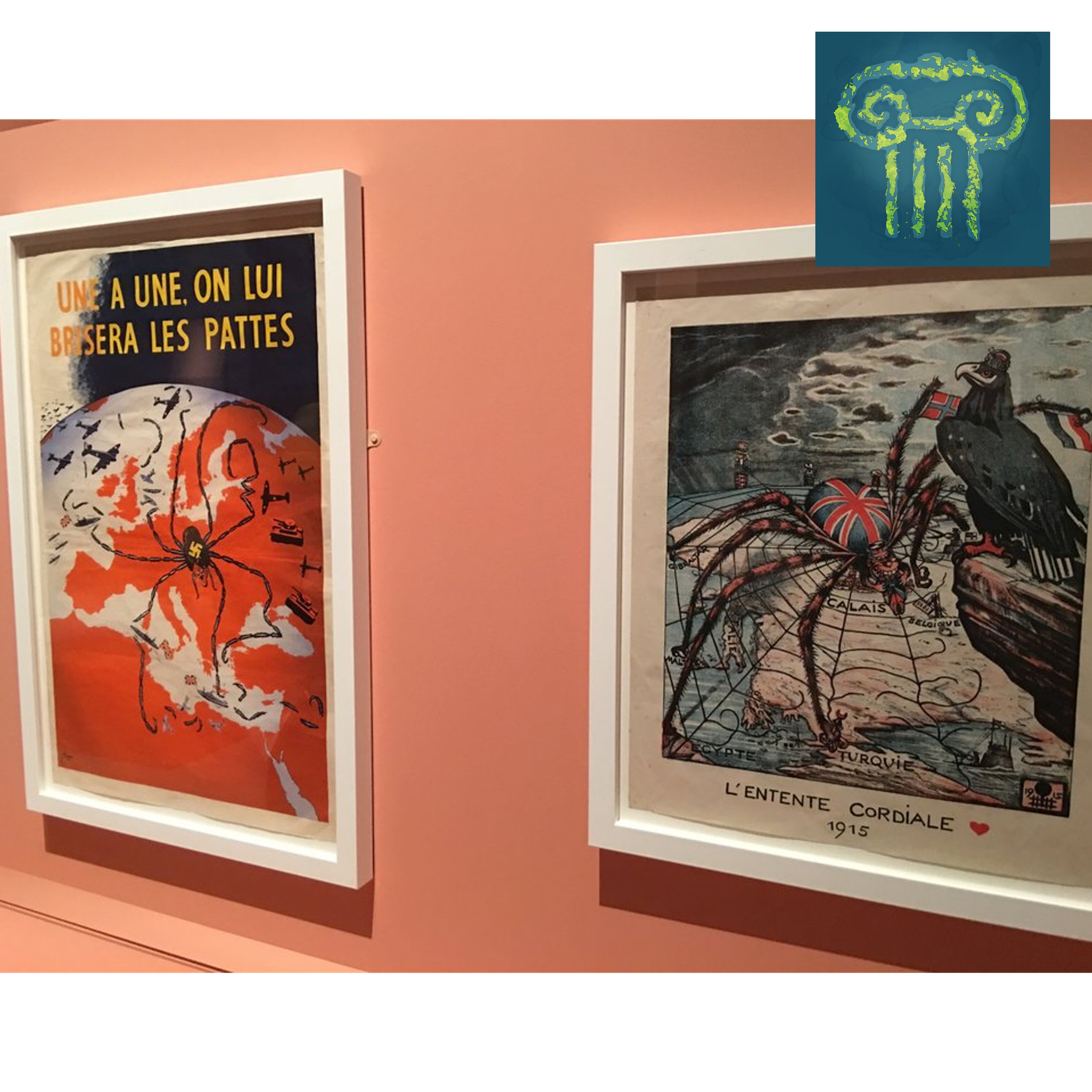
Image: Two propaganda maps at the Maps and the 20th Century exhibit at the British Library. The Maps and the 20th Century exhibit at the British Library is quick to get to central theme of the exhibition: in order to understand a map, you must understand how and why it was made. Maps are not neutral. In a museum context, however, it can be tempting to present a map as the source of truth.Topics Discussed:00:00: Intro00:14: Maps in Museums01:08: Limiting the Gallery to the 20th Century01:45: “Global North”02:15: Propaganda Maps and Globes02:40: German Map of European immigrants living in the USLinks:Maps and the 20th Century: Drawing the Line
What this episode covers
Image: Two propaganda maps at the Maps and the 20th Century exhibit at the British Library. The Maps and the 20th Century exhibit at the British Library is quick to get to central theme of the exhibition: in order to understand a map, you must understand how and why it was made. Maps are not neutral. In a museum context, however, it can be tempting to present a map as the source of truth.Topics Discussed:00:00: Intro00:14: Maps in Museums01:08: Limiting the Gallery to the 20th Century01:45: “Global North”02:15: Propaganda Maps and Globes02:40: German Map of European immigrants living in the USLinks:Maps and the 20th Century: Drawing the Line
NOW PLAYING
18. Maps and the 20th Century at the British Library
No transcript for this episode yet