
EPISODE · Dec 4, 2017 · 1H 4M
2017 The Blaeu Map Returns
from National Library of Australia · host National Library of Australia
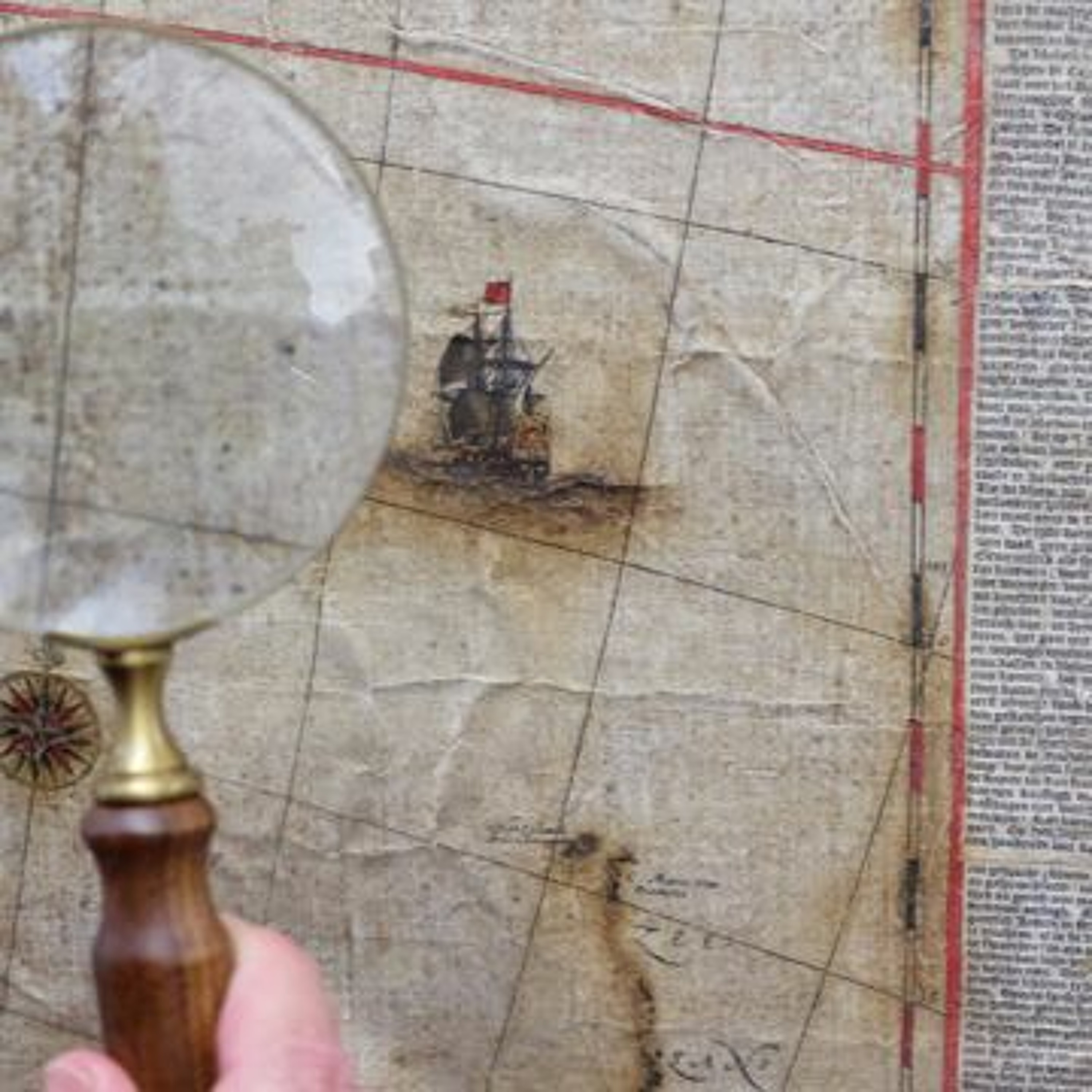
The map Archipelagus Orientalis, sive Asiaticus (Eastern or Asian Archipelago) is a historical goldmine; it records the first sighting of Tasmania and the first mapping of the New Zealand coast by Europeans. It became the template for all subsequent maps of 'New Holland', or Australia. After being acquired by the Library in 2013 and displayed in the exhibition Mapping Our World: Terra Incognita to Australia, the map underwent intense restoration. Now, after four years of conservation work, see for yourself the amazing results. Martin Woods, Curator of Maps, and Libby Melzer, conservator at the Grimwade Centre, will explain the restoration journey as it returns to display in our Treasures Gallery for a limited time only. A Treasures Gallery Access Program, supported by National Library Patrons
Embed this episode
Ready to play
2017 The Blaeu Map Returns
No transcript for this episode yet
Similar Episodes
No similar episodes found.