
EPISODE · Jun 22, 2020 · 41 MIN
26. Mapping the India - China border
from BIC TALKS · host Bangalore International Centre
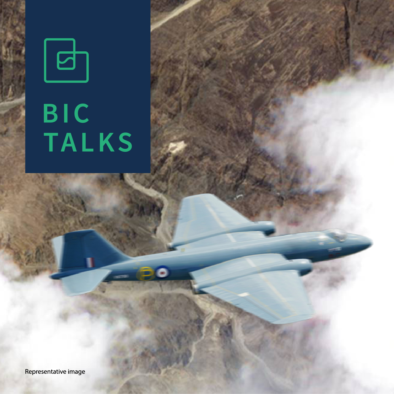
Aeronautical engineer and retired test pilot Joseph Thomas talks to host Pavan Srinath about aerial survey and mapping of the India-China border, about the evolution of mapping technology in the subcontinent, and about the longest contested border in the world. Mr Thomas discusses how maps were drawn and land was measured between the 19th century and today, the advent of aerial mapping in India, to where we are today. He elaborates on his time in aerial mapping using Canberra aircraft, a time when India had better maps of the border areas and a technological lead over China for almost two decades. He also discusses how international borders are delineated and demarcated, and provides context for the full long India-China border, as well as the Line of Actual Control in Ladakh. Joseph Thomas is an Indian Air Force pilot who flew transport and logistics during the 1962 Indo-China War. From 1967 to 1971 he flew in the reconnaissance and aerial survey squadron, taking part in border surveys, and aerial mapping of the entire country. He is also a test pilot and helped start the Indian Air Force Test Pilot School. He retired as a Wing Commander in 1984, and was awarded a Vayu Sena Medal. BIC Talks is brought to you by the Bangalore International Centre. Visit the BIC website for show notes, links and more information about the guest.
Embed this episode
NOW PLAYING
26. Mapping the India - China border
No transcript for this episode yet
Similar Episodes
No similar episodes found.