
EPISODE · Jan 8, 2026 · 46 MIN
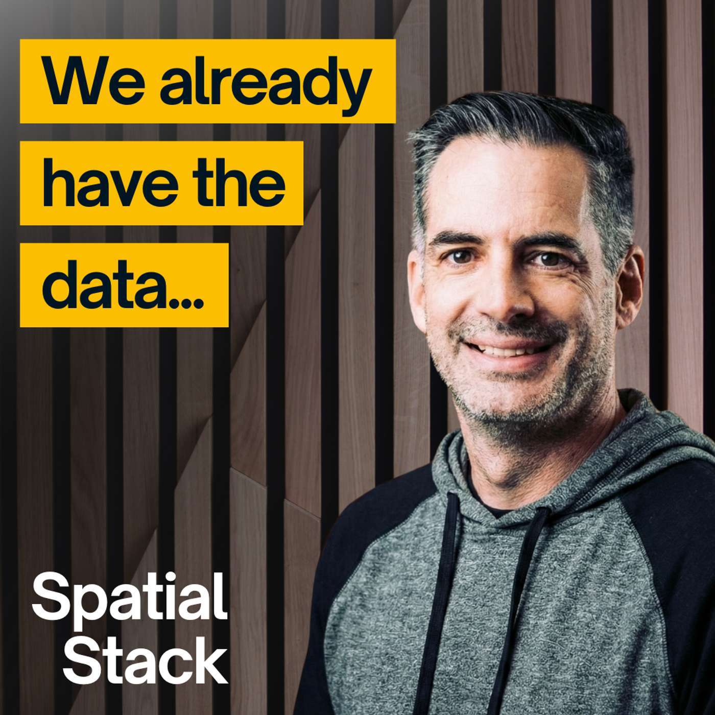
#36: Why Flood Risk Data Exists (But Isn’t Easy to Access) with Kevin Bullock
from Spatial Stack with Matt Forrest · host Matt Forrest
We have an incredible amount of public geospatial data—high-resolution elevation, weather forecasts, floodplain maps, real-time sensors—yet most people still can’t easily answer a simple question:“What’s my flood risk right here, right now?”In this episode, I’m joined by Kevin Bullock, an aerospace engineer and remote sensing expert at Development Seed, to talk about how he turned years of geospatial expertise into Hydra Atlas, a mobile app designed to make flood risk understandable and accessible for everyday users.We explore why so much critical data remains difficult to use, how Kevin pulled together datasets from FEMA, NOAA, and USGS, and why mobile—not web—was the right platform for this problem. Kevin also shares what it was like building a geospatial app with Swift, testing real-world use cases, and designing an interface that prioritizes clarity over complexity.This conversation goes beyond flooding. It’s about modern GIS, product thinking, open data, and what happens when geospatial professionals stop building tools for other experts and start building tools for people.If you’re interested in geospatial product development, public data, mobile mapping, or turning complex systems into usable software, this episode is for you.Download HydraAtlas: https://apps.apple.com/us/app/hydraatlas/id6749492232Follow Kevin on LinkedIn: https://www.linkedin.com/in/kevbullock/---Whenever you’re ready, here are 3 ways I can help you:🎓 Modern GIS Accelerator: The step-by-step roadmap to master Python, Spatial SQL & Cloud workflows. Stop just "making maps" and start building spatial solutions. 👉 https://forrest.nyc/accelerator/🧪 The Spatial Lab: Join the top 5% of geospatial professionals in our private community. Get access to exclusive courses, mentorship, and the network you need to level up. 👉 https://forrest.nyc/spatial-lab/🧭 Career Compass: Not sure where to start? Get the fast, practical steps to land the GIS role you actually want. 👉 https://forrest.nyc/career-compass/📰 Daily modern GIS insights: https://forrest.nycCONNECT WITH ME📸 Instagram: https://www.instagram.com/matt_forrest/💼 LinkedIn: https://www.linkedin.com/in/mbforr/📧 Newsletter: https://forrest.nyc🌐 Website: https://forrest.nyc
Embed this episode
NOW PLAYING
#36: Why Flood Risk Data Exists (But Isn’t Easy to Access) with Kevin Bullock
No transcript for this episode yet
Similar Episodes
No similar episodes found.
Similar Podcasts
No similar podcasts found.