
EPISODE · Jun 4, 2025 · 36 MIN
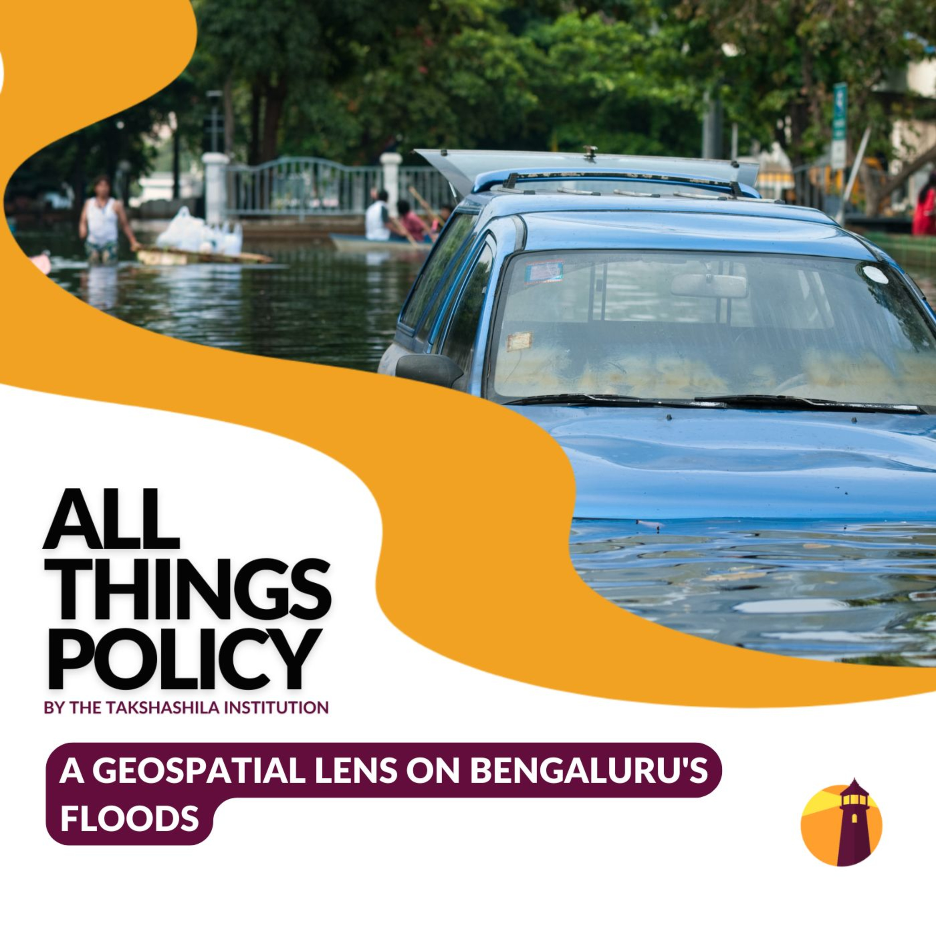
A Geospatial Lens on Bengaluru's Floods
from All Things Policy · host Takshashila Institution
Urban floods in cities like Bangalore are becoming more frequent and disruptive. In this episode of All Things Policy, Avinash Shet and Dr Y. Nithiyanandam, a professor and the head of the Geospatial Program at the Takshashila Institution, explore how geospatial technologies—maps, sensors, and AI—can aid in planning, mitigation, and sustainable flood management.'Introduction to Geospatial Science & Technology' - Join our 4-weekend expert capsule course starting June 14, designed to give you a solid foundation in geospatial science and technology— without disrupting your weekdays. Learn from top-notch experts covering critical topics and discover how geospatial tech can drive innovation across disciplines. Apply by June 7 - school.takshashila.org.in/ecc-geospatialAll Things Policy is a daily podcast on public policy brought to you by the Takshashila Institution, Bengaluru.Find out more on our research and other work here: https://takshashila.org.in/...Check out our public policy courses here: https://school.takshashila.org.in
Embed this episode
Ready to play
A Geospatial Lens on Bengaluru's Floods
No transcript for this episode yet
Similar Episodes
No similar episodes found.
Similar Podcasts
No similar podcasts found.