
EPISODE · Nov 4, 2021 · 0 MIN
BSW3 9. Divergence
from Racontour Archive - 2020 onwards · host Racontour and friends
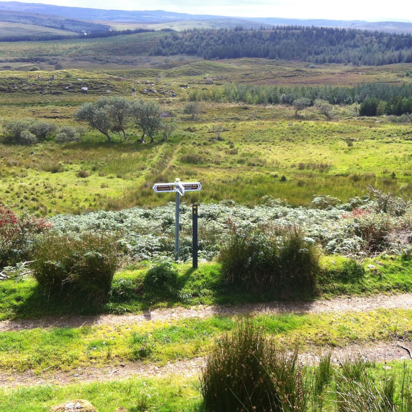
Speaker: John McGroaryFrom the Bluestack Way Part 3 playlist. GPS LOCATION: 54.730491, -8.191558Here you are faced with a choice of routes; one, the main Bluestack Way traverses the mountain of Loughnabrogue, before crossing the Bluestack range to drop into the valley of Doobin (pronounced Dibbin). This is a route for experienced walkers and safety is of paramount concern. Appropriate weatherproof clothing and stout footware are essential. The route is well marked with waymarked posts and also has larger posts to navigate ‘line of sight’. These are large posts 6-7 feet high with tops painted yellow. These are meant to guide the walker along the route of the walk and are interspersed with the regular posts, either freestanding or attached to the posts of the fence that crosses the mountain and forms part of the path. The other route (Alternative or bad weather route) is a gentler walk that does not cross the mountain and joins the main Frosses to Glenties road (R262) just below Binbane mountain. It follows the road and re-joins the main Bluestack Way at Ivy Bridge and proceeds to Glenties.
Embed this episode
NOW PLAYING
BSW3 9. Divergence
No transcript for this episode yet
Similar Episodes
No similar episodes found.
Similar Podcasts
No similar podcasts found.