
EPISODE · Jun 22, 2026 · 10 MIN
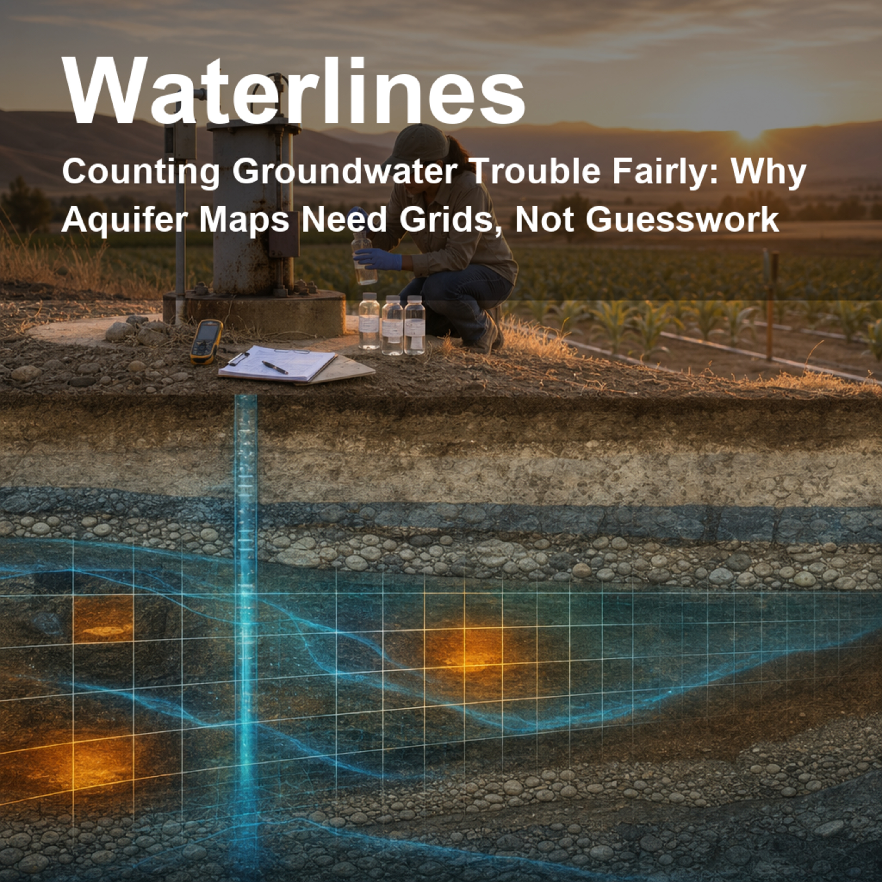
Counting Groundwater Trouble Fairly: Why Aquifer Maps Need Grids, Not Guesswork
from Waterlines: How Water Shapes Our World · host jaywen
Takeaway: A few polluted wells do not tell us how much of an aquifer is affected unless the wells are spread across the underground map fairly.Groundwater problems often hide underground until they show up in a drinking-water well, and the way we count those problems can change what communities think is safe, rare, or widespread. This episode looks at a deceptively simple question: if a contaminant is found in some wells, how much of the aquifer is actually affected? We follow a USGS-led study that turns that question into a practical sampling approach using equal-area grids, careful statistics, and California case studies. The conversation explains why clustered well data can mislead, how a grid can make a regional assessment fairer, why uncertainty matters, and what it means to detect a small contaminant target in a big underground water system. Citation: Belitz, K., B. Jurgens, M. K. Landon, M. S. Fram, and T. Johnson (2010), Estimation of aquifer scale proportion using equal area grids: Assessment of regional scale groundwater quality, Water Resources Research, 46, W11550, doi:10.1029/2010WR009321. This Waterlines episode uses AI-generated voices to present and discuss the science.Full citation: Belitz, K., B. Jurgens, M. K. Landon, M. S. Fram, and T. Johnson (2010), Estimation of aquifer scale proportion using equal area grids: Assessment of regional scale groundwater quality, Water Resour. Res., 46, W11550, doi:10.1029/2010WR009321.
Embed this episode
NOW PLAYING
Counting Groundwater Trouble Fairly: Why Aquifer Maps Need Grids, Not Guesswork
No transcript for this episode yet
Similar Episodes
No similar episodes found.
Similar Podcasts
No similar podcasts found.