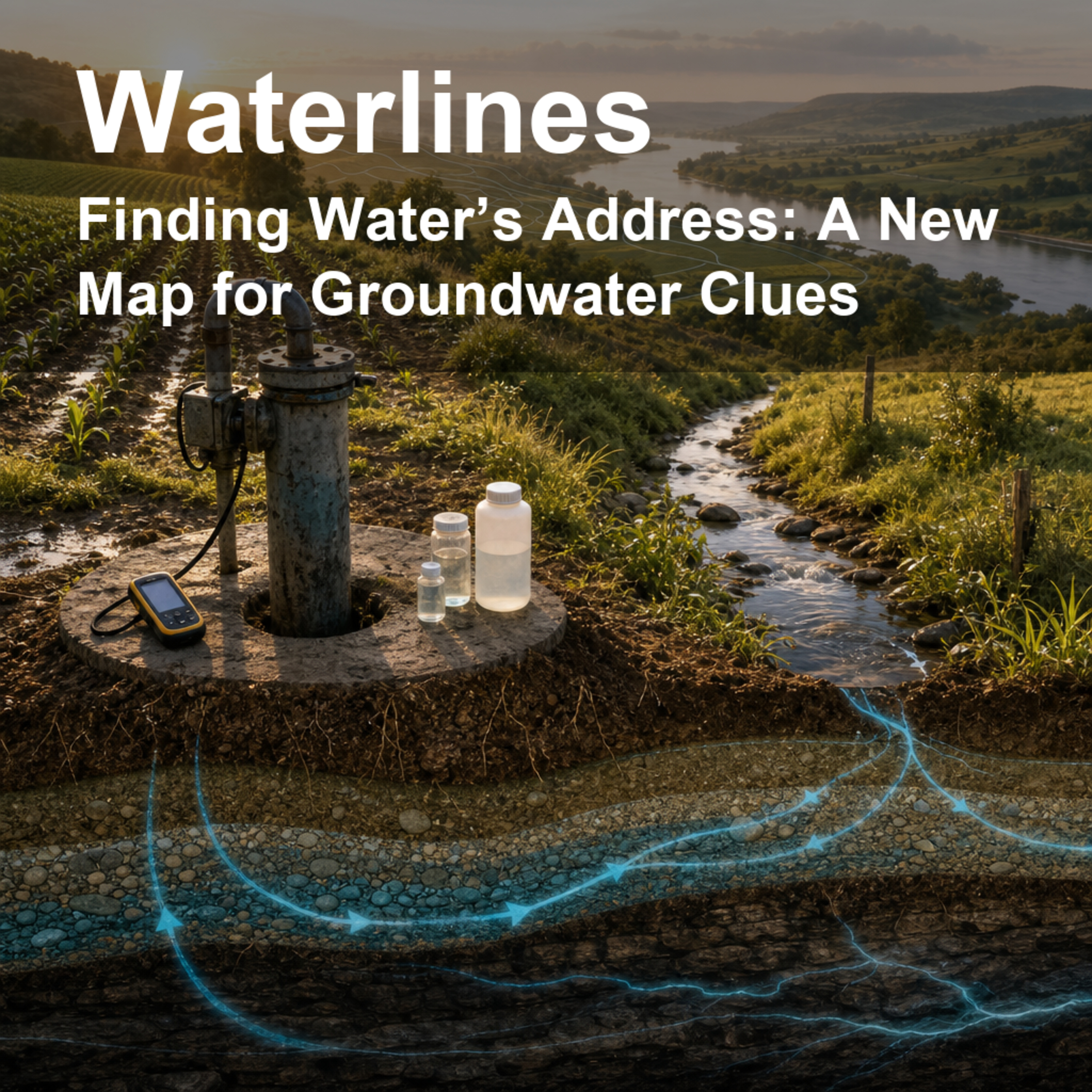
Finding Water’s Address: A New Map for Groundwater Clues episode artwork

EPISODE · Jun 26, 2026 · 12 MIN

Finding Water’s Address: A New Map for Groundwater Clues

from Waterlines: How Water Shapes Our World · host jaywen

Takeaway: A well or field has a water address too: its place between creeks, divides, headwaters, rivers, and coasts can help explain what groundwater is like beneath it.When a community asks whether its wells are vulnerable, the answer often starts with a deceptively simple question: where is this place in the water system? Not just its street address, but whether it sits near a tiny headwater stream, beside a major river, close to a divide, or far from the coast. This episode explores a U.S. Geological Survey effort to give every 30-meter patch of the conterminous United States a kind of hydrologic address.The paper introduces multi-order hydrologic position, or MOHP: a set of map-based measurements that describe how a location sits within stream networks of different sizes. The idea is practical. Groundwater quality is hard to map everywhere because wells are scattered, geology is complicated, and water moves underground in ways we cannot see directly. But landscape position can offer clues. The authors mapped two measures—lateral position between stream and divide, and distance from stream to divide—across nine stream-network scales, producing 18 metrics for billions of map cells. They then tested whether those metrics helped machine-learning models reproduce known patterns such as physiographic regions, Central Valley geomorphic zones, and depth to the water table in Wisconsin.We talk through the everyday analogy of giving water a neighborhood map, why a small creek and a major river can both matter, what machine learning is doing here, and why the authors are careful not to claim the maps reveal every hidden process. The key lesson is grounded but powerful: location in a drainage network can help scientists organize messy groundwater information across very large areas.Citation: Belitz, K., Moore, R. B., Arnold, T. L., Sharpe, J. B., & Starn, J. J. (2019). Multi-Order Hydrologic Position in the Conterminous United States: A Set of Metrics in Support of Groundwater Mapping at Regional and National Scales. Water Resources Research. https://doi.org/10.1029/2019WR025908Disclosure: This Waterlines episode uses AI-generated voices for the host conversation.

Takeaway: A well or field has a water address too: its place between creeks, divides, headwaters, rivers, and coasts can help explain what groundwater is like beneath it.When a community asks whether its wells are vulnerable, the answer often starts with a deceptively simple question: where is this place in the water system? Not just its street address, but whether it sits near a tiny headwater stream, beside a major river, close to a divide, or far from the coast. This episode explores a U.S. Geological Survey effort to give every 30-meter patch of the conterminous United States a kind of hydrologic address.The paper introduces multi-order hydrologic position, or MOHP: a set of map-based measurements that describe how a location sits within stream networks of different sizes. The idea is practical. Groundwater quality is hard to map everywhere because wells are scattered, geology is complicated, and water moves underground in ways we cannot see directly. But landscape position can offer clues. The authors mapped two measures—lateral position between stream and divide, and distance from stream to divide—across nine stream-network scales, producing 18 metrics for billions of map cells. They then tested whether those metrics helped machine-learning models reproduce known patterns such as physiographic regions, Central Valley geomorphic zones, and depth to the water table in Wisconsin.We talk through the everyday analogy of giving water a neighborhood map, why a small creek and a major river can both matter, what machine learning is doing here, and why the authors are careful not to claim the maps reveal every hidden process. The key lesson is grounded but powerful: location in a drainage network can help scientists organize messy groundwater information across very large areas.Citation: Belitz, K., Moore, R. B., Arnold, T. L., Sharpe, J. B., & Starn, J. J. (2019). Multi-Order Hydrologic Position in the Conterminous United States: A Set of Metrics in Support of Groundwater Mapping at Regional and National Scales. Water Resources Research. https://doi.org/10.1029/2019WR025908Disclosure: This Waterlines episode uses AI-generated voices for the host conversation.

NOW PLAYING

Finding Water’s Address: A New Map for Groundwater Clues

0:00 12:27

No transcript for this episode yet

We transcribe on demand. Request one and we'll notify you when it's ready — usually under 10 minutes.

Eat to Live Jenna Fuhrman, Dr. Fuhrman Our health is our most precious gift and smart nutrition can change your life. Each month, join Dr. Fuhrman and his daughter, Jenna Fuhrman as they discuss important topics in the world of nutrition. Eat to Live will change the way you eat and think about food. French Your Way Jessica: Native French teacher founder of French Your Way Boost your French listening skills and test your comprehension with this one of a kind series of podcasts. Get the chance to listen to a real conversation between native speakers talking at normal speed AND customise your learning experience through carefully designed sets of questions (2 levels of difficulty) available for download at www.frenchvoicespodcast.com. All interviews also come with the transcript. French teacher Jessica interviews native speakers of French from around the world who share a bit of their life and passion. Where else would you meet in one same place a French yoga teacher based in Melbourne, a soap manufacturer from Provence, or a couple cycling around the world? HOMELAND HOMELAND The Church is a body not a building. It's the bride of Jesus Christ! Jesus is coming back for a mature bride. That means it's time for the church of Jesus Christ to move from milk to meat. This is the hour of maturity!HOMELAND is an announcement that the church is being set free. Only the church has the ability to transform the world. The kingdom's of this world will become the kingdoms of our Lord and Savior!All of creation has been waiting for this moment! Sons and daughters of God are rising up and taking their seat! XXX Tech by SOVRYN Dr. Brian Sovryn The crossroads between technology, sensuality, and metaphysics - and the longest running anarchist podcast in the world! Brought to you by Dr. Brian Sovryn.

Frequently Asked Questions

How long is this episode of Waterlines: How Water Shapes Our World?

This episode is 12 minutes long.

When was this Waterlines: How Water Shapes Our World episode published?

This episode was published on June 26, 2026.

What is this episode about?

Takeaway: A well or field has a water address too: its place between creeks, divides, headwaters, rivers, and coasts can help explain what groundwater is like beneath it.When a community asks whether its wells are vulnerable, the answer often starts...

Can I download this Waterlines: How Water Shapes Our World episode?

Yes, you can download this episode by clicking the download button on the episode player, or subscribe to the podcast in your preferred podcast app for automatic downloads.
URL copied to clipboard!