
EPISODE · Mar 19, 2026 · 25 MIN
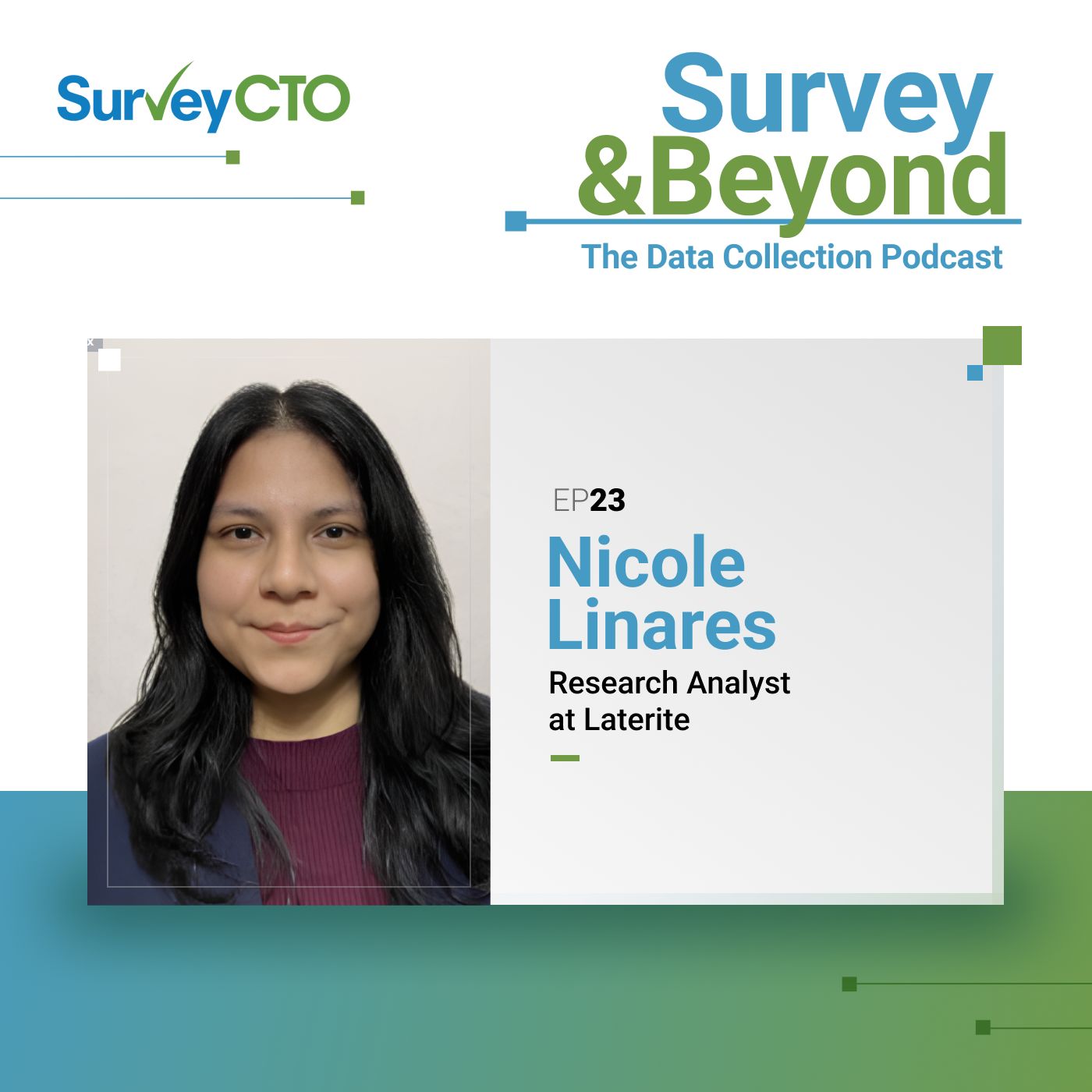
From GPS points to satellite data: The future of traceability with Nicole Linares
from Survey & Beyond: The Data Collection Podcast · host SurveyCTO
#23 In this episode of Survey and Beyond, Marta speaks with Nicole Linares, Research Analyst, about how geospatial data collection helps farmers meet EU deforestation regulations. Nicole explains how offline mapping tools, GPS boundary tracing, and satellite imagery are used in remote environments to ensure compliance, improve traceability, and connect farmers to global markets.
Embed this episode
Ready to play
From GPS points to satellite data: The future of traceability with Nicole Linares
No transcript for this episode yet
Similar Episodes
No similar episodes found.
Similar Podcasts
No similar podcasts found.