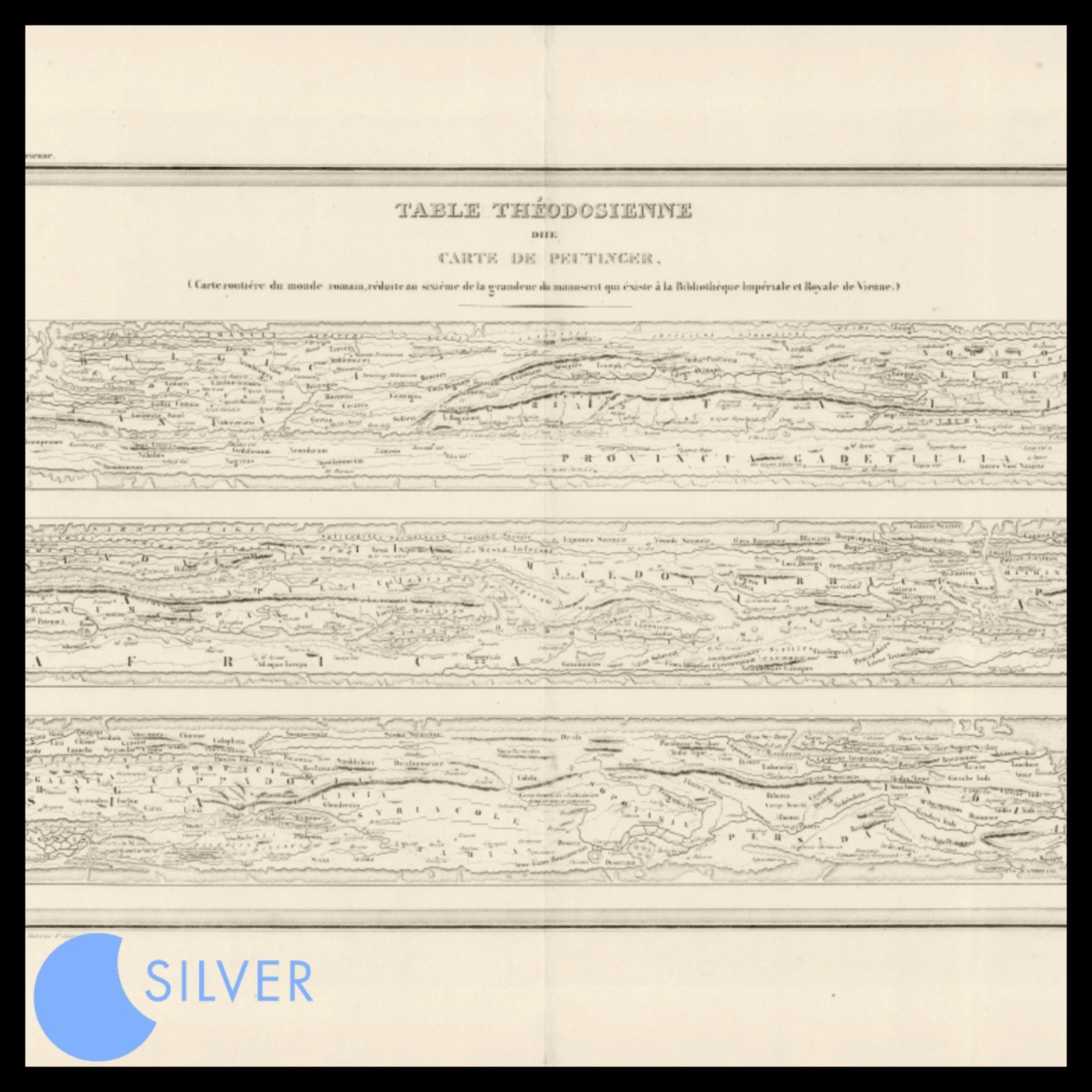
CartoCuriosity - The Peutinger Table, an Ancient Roman Map
from Silver Shorts Hosted by Silver Sound
In this episode of CartoCuriosity, Kevin Brown of Geographicus Rare Antique Maps explores the Peutinger Table, or Tabula Peutingeriana - an extraordinary 12-foot-long Roman road map that reveals how the ancient world understood geography, travel, and imperial infrastructure. Stretching from Britain across Europe, the Mediterranean, Persia, and India, this remarkable itinerary sacrifices geographic accuracy to trace the roads, cities, ports, and staging posts that connected the Roman Empire. From its possible origins in the monumental map of Marcus Vipsanius Agrippa to its survival as a medieval vellum manuscript and later publication by Abraham Ortelius and Jan Jansson, the Peutinger Table offers an unparalleled window into Roman cartography and a radically different way of seeing the ancient world.
Embed this episode
No transcript yet.