
EPISODE · May 18, 2026 · 2 MIN
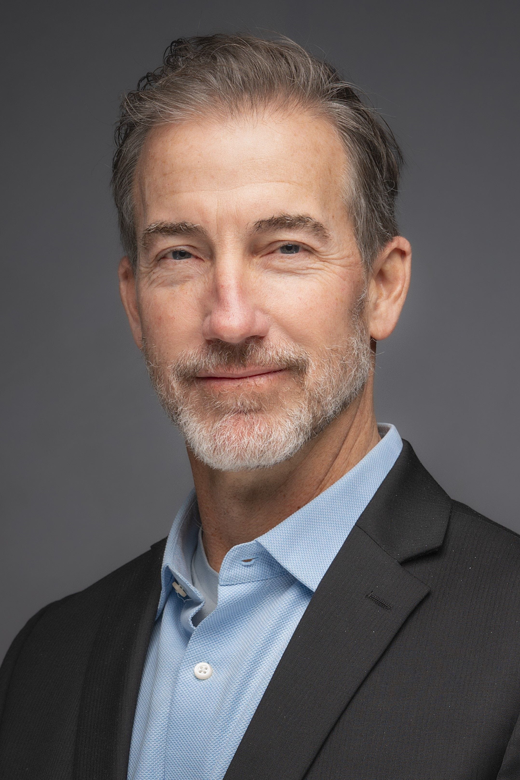
George McLeod, Old Dominion University - Building Digital Twins of Our World to Improve Coastal Resilience
from The Academic Minute · host Academic Minute
On Old Dominion University Week: Coastal resilience will be key going forward in a warming climate.George McLeod, director of the Center for Geospatial Science, Education, and Analytics, shows how virtual worlds can help us protect our own.Faculty Bio:Dr. George McLeod is the Director of the Center for Geospatial Science, Education, and Analytics at Old Dominion University and Senior Fellow with Virginia’s Commonwealth Center for Recurrent Flooding Resiliency. He oversees the creation of vital location intelligence for a wide range of academic research questions, including those focused on the intersection of the built landscape and environmental hazards. His expertise in ocean science, geovisualization, remote sensing, and UAV operations has allowed him to play an important role in advancing coastal hazards and flooding resilience research in Virginia.Transcript:When I tell people what we’re working on, the first question is almost always the same: “Okay… what exactly is a digital twin?”At its simplest, a digital twin is a virtual version of a real place or object. Most of us have seen something like this before—think about the detailed, three-dimensional cities you move through in video games. They look real, but they’re mostly just scenery.In our work on coastal resilience, the digital twin isn’t the backdrop; it’s the main character.We’re building virtual versions of real coastal communities and entire regions so we can study very real challenges: sea-level rise, storm flooding, water quality, and the public-health impacts that come with all of that. And unlike a static 3D model, these digital twins are alive. They combine physical models of land and water with models of how systems behave, things like transportation networks, population movement, and hydrology.That lets us ask big, practical questions. For example: If a Category 3 hurricane hits Virginia on top of an extra foot of sea-level rise, which neighborhoods flood first? Which roads are cut off—and for how long? How much damage might we see? Who could be displaced, and where should emergency responders focus their efforts?Our most ambitious project takes this idea even further. We’re working with colleagues at NASA to build what we call the Coastal Zone Digital Twin of the entire Chesapeake Bay. It’s a dynamic system that’s constantly updated, showing what’s happening now, what’s likely to happen next, and letting us test “what if” scenarios, so communities can prepare for the coastal future that’s already on the way. This is a public episode. If you would like to discuss this with other subscribers or get access to bonus episodes, visit www.academicminute.org
Embed this episode
NOW PLAYING
George McLeod, Old Dominion University - Building Digital Twins of Our World to Improve Coastal Resilience
No transcript for this episode yet
Similar Episodes
No similar episodes found.
Similar Podcasts
No similar podcasts found.