
EPISODE · Aug 12, 2026 · 34 MIN
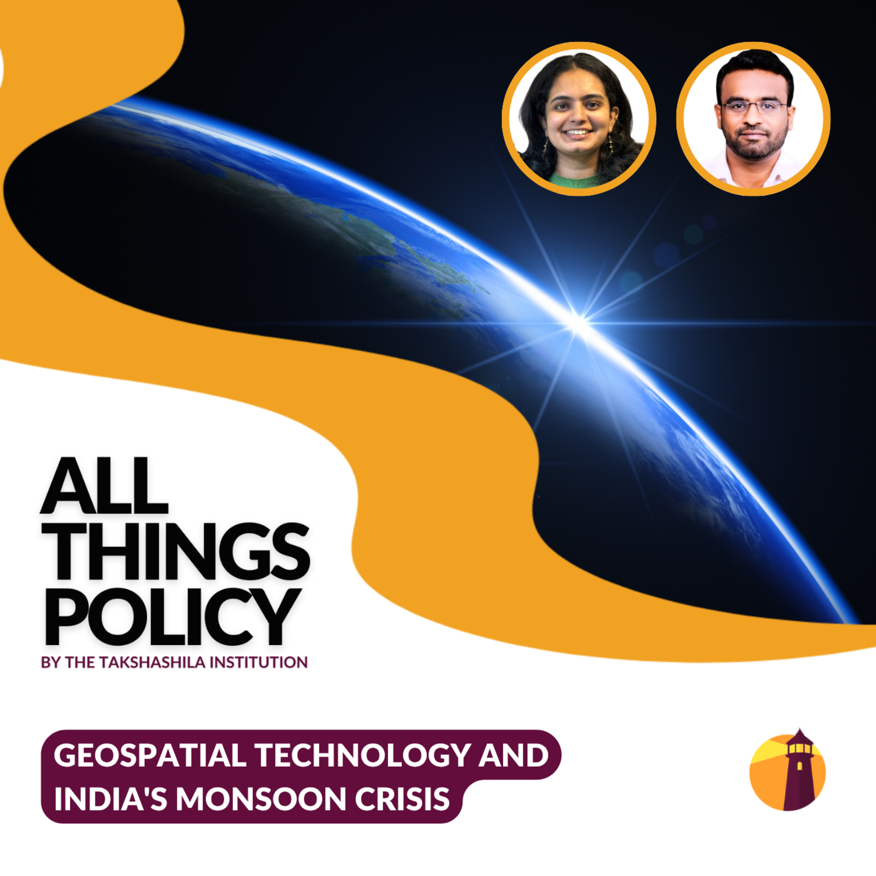
Geospatial Technology and India's Monsoon Crisis
from All Things Policy · host Takshashila Institution
Geospatial data can predict where a flood will happen. Satellite imagery can identify vulnerable settlements before disaster strikes. Real-time mapping can guide evacuation decisions. India has all these tools. Yet our early warning systems remain fragmented, slow, and disconnected. In this episode of All Things Policy, host Kavya Rai sits with Dr Y. Nithiyanandam as he explains what needs to change in how we coordinate disaster response and what works in other countries.All Things Policy is a daily podcast on public policy brought to you by the Takshashila Institution, Bengaluru.Find out more on our research and other work here: https://takshashila.org.in/research-areasCheck out our public policy courses here: https://school.takshashila.org.in
Embed this episode
Ready to play
Geospatial Technology and India's Monsoon Crisis
No transcript for this episode yet
Similar Episodes
No similar episodes found.
Similar Podcasts
No similar podcasts found.