
EPISODE · Dec 15, 2021 · 42 MIN
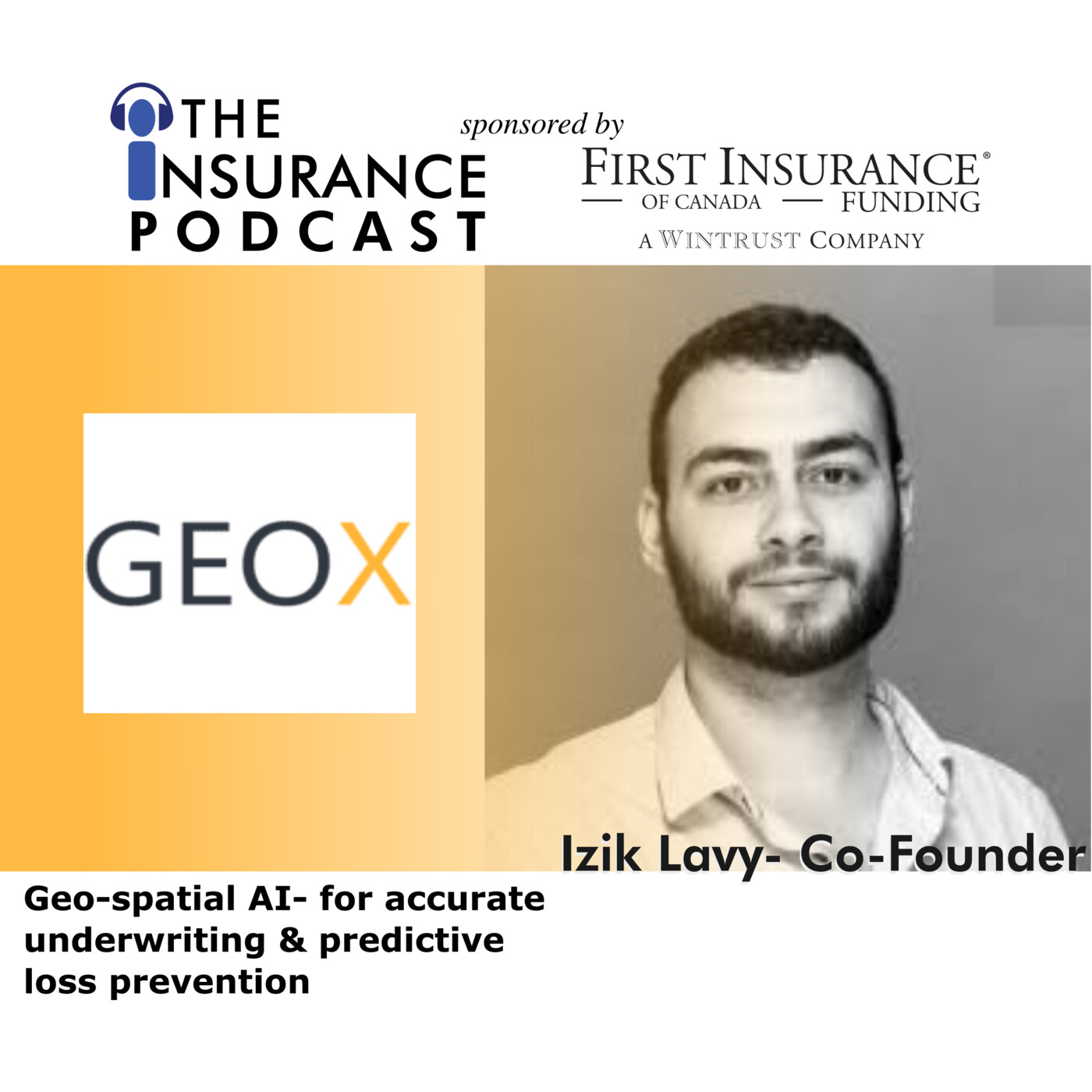
GeoX- Geospatial AI for underwriting & loss prevention
GeoX founder and CEO Izik Lavy shares his thoughts on how combining geospatial data sets with AI can lead to better underwriting for insurers. Izik describes how underwriting results can be improved by adopting geospatial technology while also using it as a claim predictor in risk rating. However, this is not just a tool for buildings and structures but for landscape and terrain as well by predicting loss due to climate change. Geospatial technology has come a long was and Izik and GeoX are exploring new territory to help underwrite and predict loss better.See Privacy Policy at https://art19.com/privacy and California Privacy Notice at https://art19.com/privacy#do-not-sell-my-info.
Embed this episode
What this episode covers
Learn how geospatial technology can improve underwriting but also predict claims and help manage and prevent Cat lossses.
NOW PLAYING
GeoX- Geospatial AI for underwriting & loss prevention
No transcript for this episode yet
Similar Episodes
No similar episodes found.
Similar Podcasts
No similar podcasts found.