
EPISODE · Sep 1, 2025 · 40 MIN
How Geographic Information Systems (GIS) are revolutionising farming across South Africa
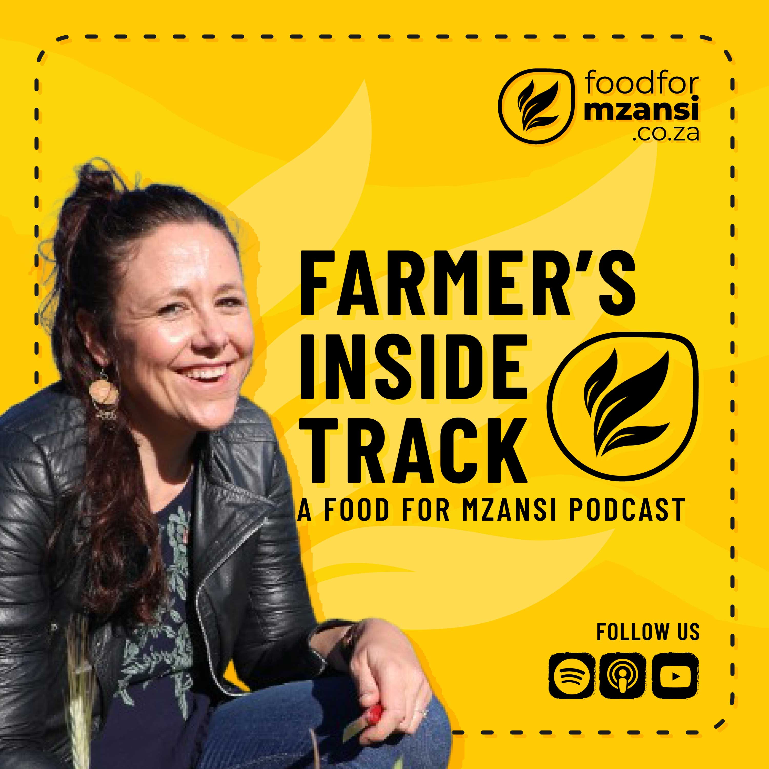
In this episode, we explore how Geographic Information Systems (GIS) are revolutionising farming across South Africa. Dr Tara Southey, post-doctoral researcher at Stellenbosch University and founder of TerraClim, shares how farmers can use heat maps, temperature profiles, and drone data to make smarter, more profitable decisions. From visualising soil nutrient concentrations to tracking hours of heat or coolness that affect plant growth, Southey explains why aligning with terrain variables can directly boost returns. Whether it’s integrating satellite imagery, aerial photography, or precision drone mapping, this conversation reveals how farmers can use GIS to adapt to climate change, improve yields, and secure a sustainable future.
Embed this episode
NOW PLAYING
How Geographic Information Systems (GIS) are revolutionising farming across South Africa
No transcript for this episode yet
Similar Episodes
No similar episodes found.
Similar Podcasts
No similar podcasts found.