
EPISODE · May 18, 2026 · 9 MIN
How Transport Shapes Our Cities: From Streets to Stations
from Mapping the CITY
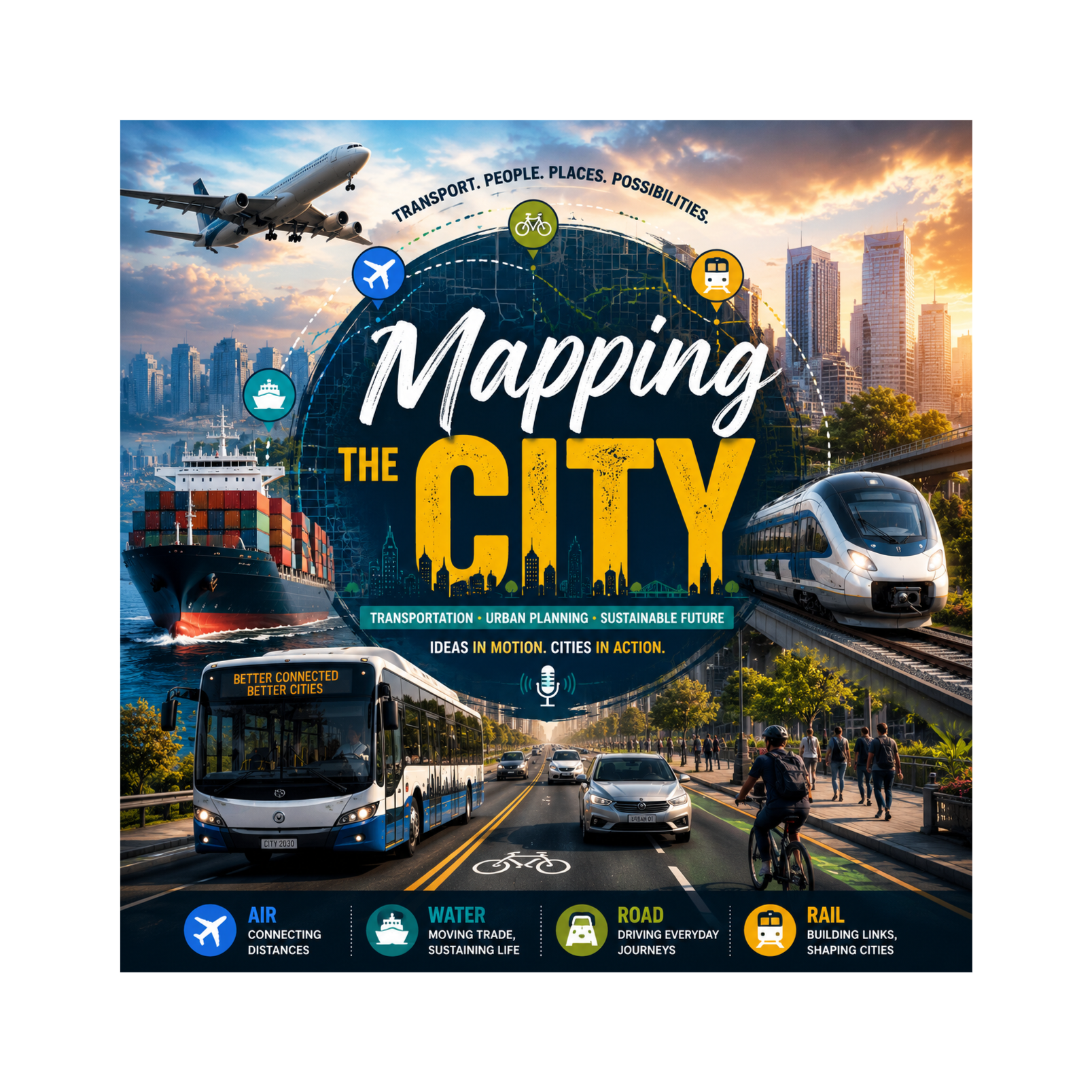
Ever wondered why your morning commute feels like an adventure through traffic, crowded buses, speedy cyclists, and streets that never seem to end? In this episode, we explore how transportation networks, from bikes, buses, and cars to trains and metros, shape the cities we live in.We dive into Transit-Oriented Development (TOD) with Knowles and colleagues, and Land Use-Transport Interaction (LUTI) models with Kii and colleagues, connecting history, modern urban planning, and future innovations. Hear real-life street-level examples of students, office commuters, and everyday city travelers, and discover how transport choices impact accessibility, sustainability, and equity.By the end of this episode, you’ll see your city through a planner’s eyes and understand how past, present, and future transport decisions affect our daily lives, the environment, and urban opportunities.
Embed this episode
NOW PLAYING
How Transport Shapes Our Cities: From Streets to Stations
No transcript for this episode yet
Similar Episodes
No similar episodes found.
Similar Podcasts
No similar podcasts found.