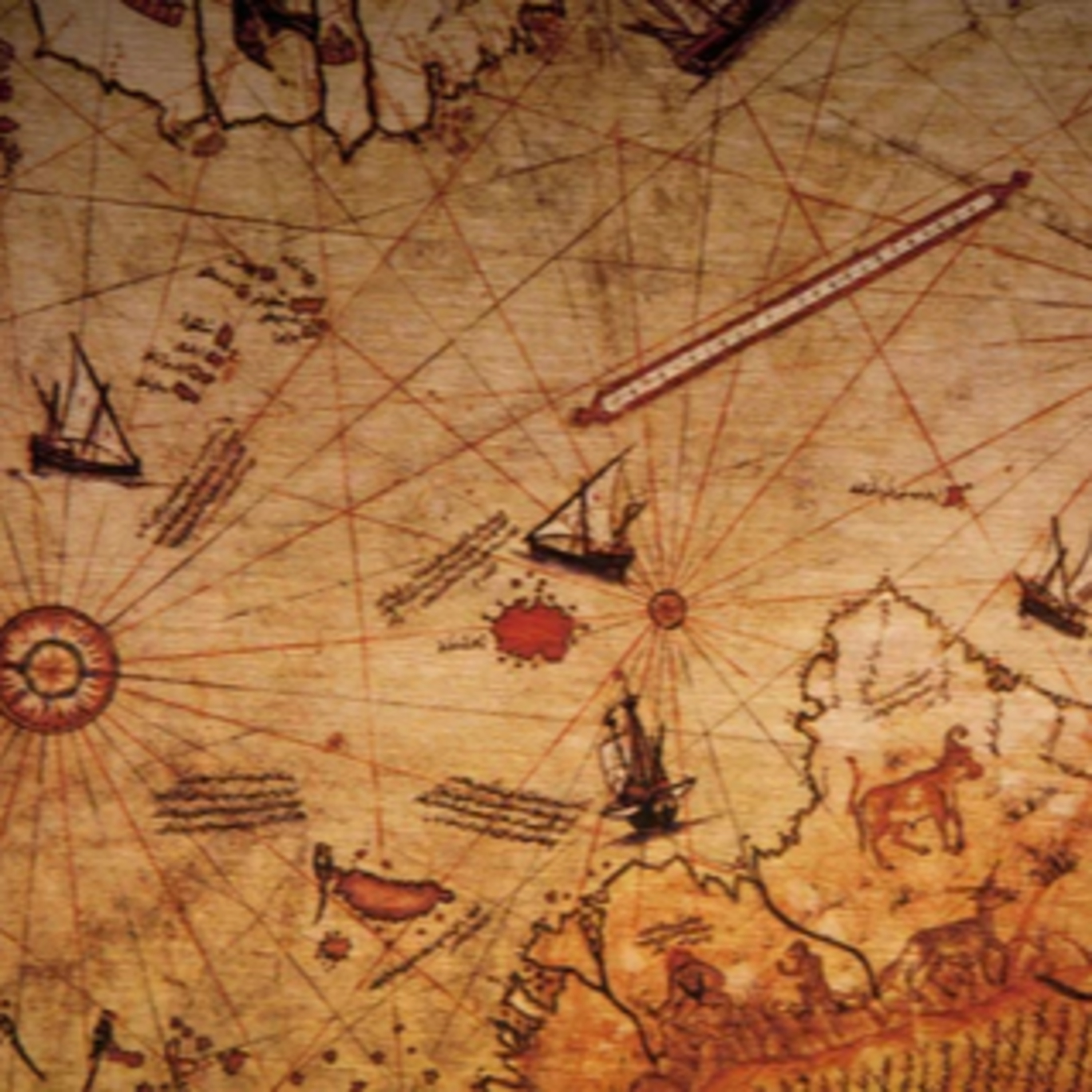
Impossible 500-year Old Map: Piri Reis
from Greatest Mysteries and Sci-Fi Hosted by Carraway Production
The episode offers an overview and analysis of the Piri Reis Map, an often-debated fragment of a 16th-century world map created by an Ottoman admiral and cartographer. The source explores the map's historical context, noting it was compiled in 1513 from various sources including maps from Columbus and older geographic traditions linked to Alexander the Great and Ptolemy. It focuses on controversial features such as the detailed depiction of Hispaniola, the inclusion of speculative geography, and particularly the landmass at the southern edge, which some argue represents Antarctica before it was covered in ice, suggesting a lost ancient knowledge source.
Embed this episode
No transcript yet.