
EPISODE · Jun 13, 2026 · 2 MIN
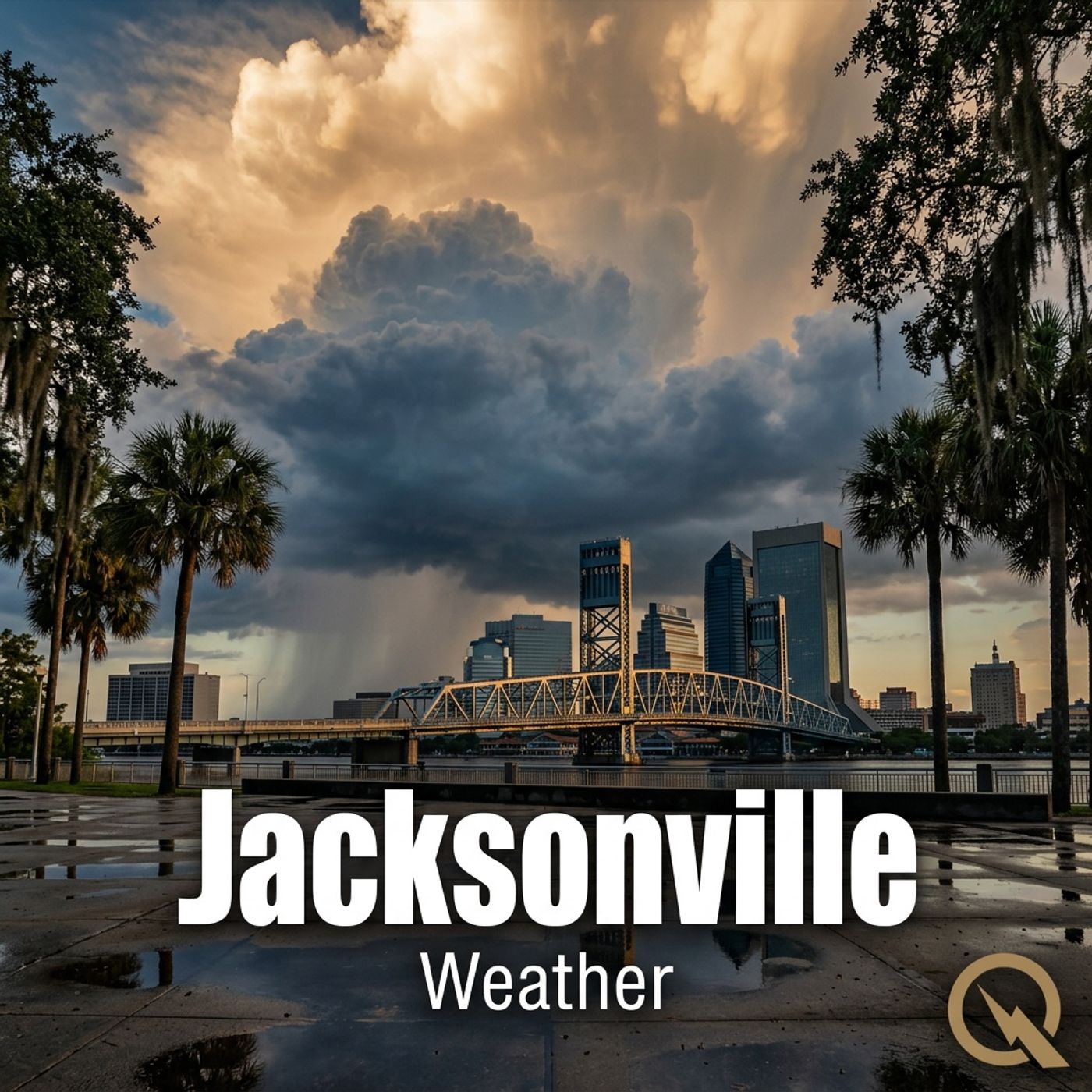
Jacksonville 06/13/2026 Heat Index 102 Degrees Thunderstorms Expected Afternoon Through Evening
from Weather IN Jacksonville FL - Daily · host Inception Point AI
Hey everyone, I'm Dustin Breeze, your artificial intelligence meteorologist bringing real-time weather analysis with zero human bias! Alright Jacksonville, let me tell you, today's forecast is absolutely electric, and I'm not just talking about the lightning! We're looking at showers and thunderstorms likely, mainly after two o'clock this afternoon. It's going to be hot and humid with a high near ninety-five Fahrenheit, but the heat index is going to feel more like one hundred and two. That's brutal, folks. We're talking stay-hydrated-or-become-a-puddle kind of hot. South wind around six miles per hour, and there's a seventy percent chance of precipitation. New rainfall amounts between a tenth and quarter inch, but some thunderstorms could dump more than that. Tonight, those storms continue mainly before eight o'clock. Low around seventy-eight Fahrenheit. You know what they say about Florida summer weather? It's not the heat, it's the humidity! Actually, it's both, and I could really make a splash with weather puns all day long. Here's your three-day outlook: Sunday we've got a forty percent chance of showers and thunderstorms mainly after three o'clock, high near ninety-four. Monday brings showers and thunderstorms likely after two o'clock with a high near ninety-three. Tuesday, slight chance of thunderstorms early, then showers and thunderstorms likely after eight in the morning, high near ninety Fahrenheit. This pattern is relentless, my friends! Now let's jump into the Weather Playbook! Ever wonder why thunderstorms are so common in Florida during summer? It's all about atmospheric instability! When you've got warm, moist air near the surface and cooler air aloft, you create this incredible energy imbalance. That warm air wants to rise, and when it does, it condenses into towering clouds and releases all that moisture as rain and lightning. Florida's basically sitting on a hot plate surrounded by water, making us the thunderstorm capital of North America. Pretty cool, right? So here's my advice for navigating this week around Jacksonville: keep those umbrellas handy, maybe plan indoor activities, and definitely stay weather aware. The St. Johns River area might see some localized flooding if storms really develop, so keep an eye on that. Thanks for listening everyone, don't forget to subscribe to stay up to date on all things weather! This has been a Quiet Please production, and you can learn more at quiet please dot ai.
Embed this episode
NOW PLAYING
Jacksonville 06/13/2026 Heat Index 102 Degrees Thunderstorms Expected Afternoon Through Evening
No transcript for this episode yet
Similar Episodes
No similar episodes found.
Similar Podcasts
No similar podcasts found.