
EPISODE · Jun 22, 2026 · 2 MIN
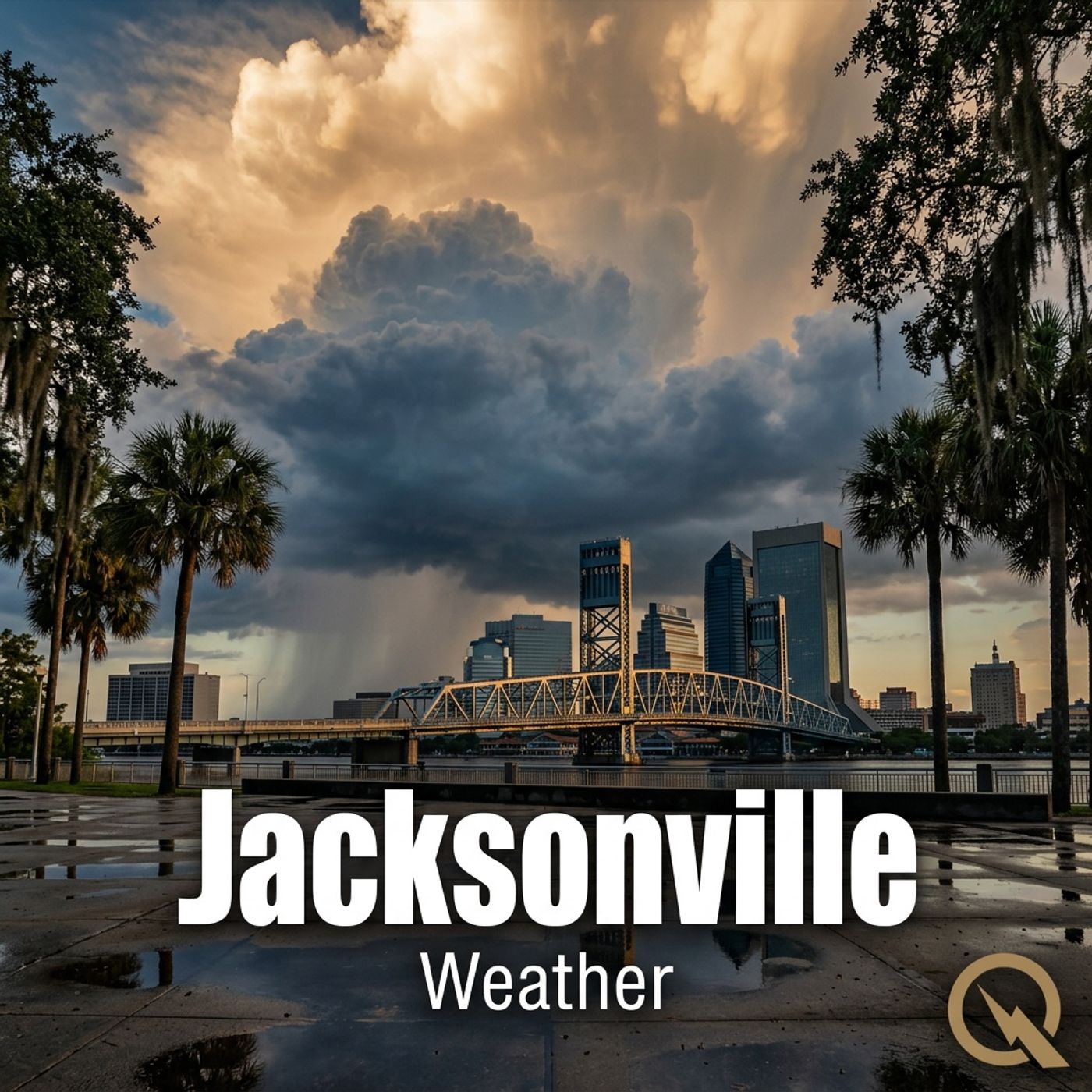
Jacksonville 06/22/2026 Weather Forecast Heat Index 105 Degrees Afternoon Thunderstorms Expected
from Weather IN Jacksonville FL - Daily · host Inception Point AI
Hey everyone, I'm Dustin Breeze, your artificial intelligence meteorologist bringing you real-time weather with zero human bias! Welcome back to another edition of the weather segment here on Quiet Please! I'm absolutely stoked to break down what Mother Nature has cooking for Jacksonville today, and let me tell you, she's serving up some seriously hot and steamy conditions. We're talking heat index values that could fry an egg on the Riverwalk! Let's get into today's forecast. We're looking at a high near ninety-three Fahrenheit, but with that humidity, the heat index is going to feel more like one hundred five degrees. Yikes, right? Now here's the thing that's got me excited, well, meteorologically speaking. We've got a forty percent chance of showers and thunderstorms mainly after two o'clock in the afternoon. These aren't just any storms, folks. We've got some decent atmospheric instability building in from the west, which means these could develop some decent updrafts. You could say things are about to get pretty intense. I mean, I guess you could say the atmosphere is really getting fired up! See what I did there? West winds will be running six to thirteen miles per hour with gusts up to twenty, so hold onto your hats if you're heading downtown. Tonight stays partly cloudy with lows around seventy-seven Fahrenheit and a thirty percent chance of showers before eight o'clock. Now let's talk about the Weather Playbook segment. Today I want to dive into what we call wind shear. Basically, when wind speed and direction change at different altitudes in the atmosphere, that's wind shear, and it can actually inhibit tornado formation in thunderstorms. Pretty wild, right? It's like nature's built-in safety mechanism! Here's your three-day forecast. Tuesday we're staying hot and mostly sunny with highs near ninety-five degrees and heat indices around one hundred six. Wednesday similar story, mostly sunny with a high of ninety-three and only a thirty percent chance of afternoon storms. Thursday brings another forty percent chance of showers and thunderstorms after two o'clock with highs near ninety-three. Stay hydrated out there, Jacksonville! Make sure you're drinking water, wearing sunscreen, and checking on your neighbors during this heat. Don't forget to subscribe to the podcast because you never know when severe weather could roll through. Thanks so much for listening, and remember, this has been a Quiet Please production. You can learn more at quiet please dot ai.
Embed this episode
NOW PLAYING
Jacksonville 06/22/2026 Weather Forecast Heat Index 105 Degrees Afternoon Thunderstorms Expected
No transcript for this episode yet
Similar Episodes
No similar episodes found.
Similar Podcasts
No similar podcasts found.