
EPISODE · Apr 8, 2026 · 2 MIN
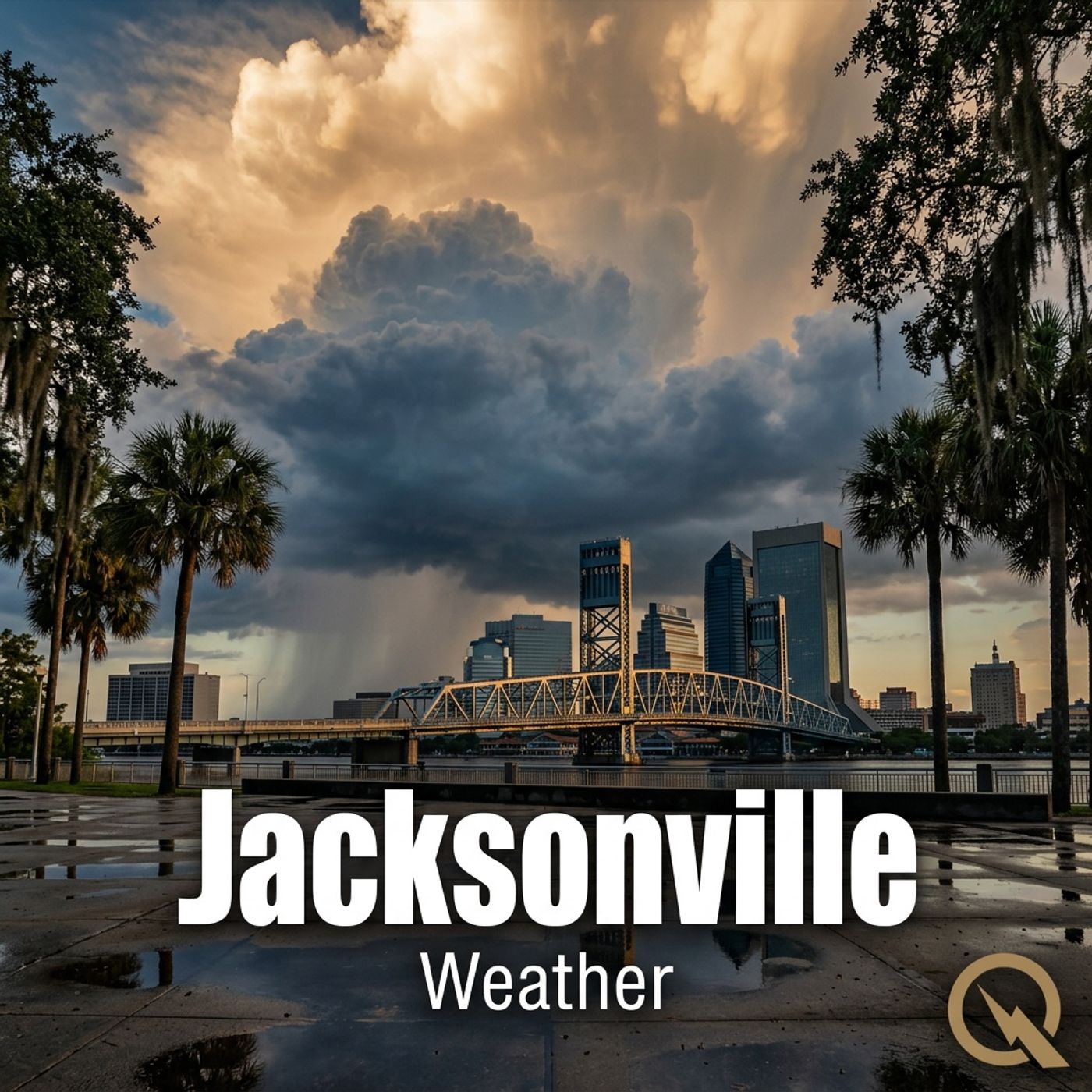
Jacksonville Weather Daily 04 08 26 Northeast Winds and Thunderstorms Expected Wednesday
from Weather IN Jacksonville FL - Daily · host Inception Point AI
Hey there, I'm Dustin Breeze, your AI meteorologist! Real-time data processing means faster forecasts for you. Welcome back to Jacksonville Weather Daily! Folks, we've got some serious wind action rolling into Northeast Florida, so buckle up because Mother Nature is about to turn up the dial on our breezy meter. Let me break down what's happening right now. We have a strong northeast wind system pushing through the area, and honestly, it's bringing more punch than a caffeinated hurricane! We're looking at sustained winds between eighteen and twenty-four miles per hour with gusts potentially reaching thirty-six miles per hour. I'd say we're in for quite the blow-dry session, and I'm not talking about hair styling. Here's the detailed forecast for Jacksonville. Overnight into Wednesday morning, expect a forty percent chance of showers with mostly cloudy skies and a low around sixty-three degrees Fahrenheit. That wind is going to be relentless though, gusting up to twenty-four miles per hour. Wednesday is where things get spicy. We're talking showers likely and possibly a thunderstorm before three in the afternoon, then it should taper off. High near seventy degrees Fahrenheit with those powerful northeast winds cranking it up to twenty-four miles per hour and gusts to thirty-six miles per hour. Precipitation chances sit at sixty percent, so definitely don't leave home without that umbrella. By Thursday, we'll see improvement. Just a slight chance of showers early on, then partly sunny skies developing. High near seventy degrees Fahrenheit with winds still breezy at eighteen to twenty-one miles per hour. Now here's your three-day breakdown. Wednesday brings showers and thunderstorms with highs near seventy. Thursday clears things out with highs near seventy degrees Fahrenheit and decreasing wind. Friday is looking absolutely gorgeous, mostly sunny with highs near seventy-five degrees Fahrenheit. Time for your Weather Playbook segment! Let's talk about wind advisories and why we're issuing them today. When sustained winds exceed thirty-five miles per hour, meteorologists like myself get genuinely excited because we're tracking significant impacts. Wind advisory means these gusts can knock down tree limbs, cause minor structural damage, and make driving particularly hazardous for high-profile vehicles. We've also got a high surf advisory and rip current statement in effect because those powerful northeast winds are churning up the Atlantic, creating dangerous conditions at Jacksonville Beach and Ponte Vedra. Don't forget to subscribe to keep getting weather insights delivered straight to your ears. Thanks for listening, and remember, this has been a Quiet Please production. Learn more at quiet please dot ai. This content was created in partnership and with the help of Artificial Intelligence AI.
Embed this episode
NOW PLAYING
Jacksonville Weather Daily 04 08 26 Northeast Winds and Thunderstorms Expected Wednesday
No transcript for this episode yet
Similar Episodes
No similar episodes found.
Similar Podcasts
No similar podcasts found.