Mangrove Conservation via Satellite (bub2018)
from Chaos Computer Club - archive feed Hosted by Aurélie Shapiro
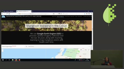
Mangroves are unique forest ecosystems that thrive in the coastal zone, and project and stabilize coastlines across the tropics. WWF is using new digital tools to automatically map and monitor mangrove extent worldwide. Powerful cloud technology, combined with satellite imagery, drone imagery, data collection via smartphone, and machine learning is providing real progress in the fight to save our mangroves. This session will introduce the methods, outputs and challenges to real-time monitoring of mangrove ecosystems. This presentation will showcase the latest remote sensing technology using satellite, drones and mobile phone data collection to assess and monitor mangroves in the Rufiji Delta, Tanzania, one of the largest tracts of mangroves in Coastal East Africa, under threat of conversion to rice paddies, pasture and wood extraction.. about this event: https://fahrplan.bits-und-baeume.org/events/222.html
Embed this episode
No transcript yet.