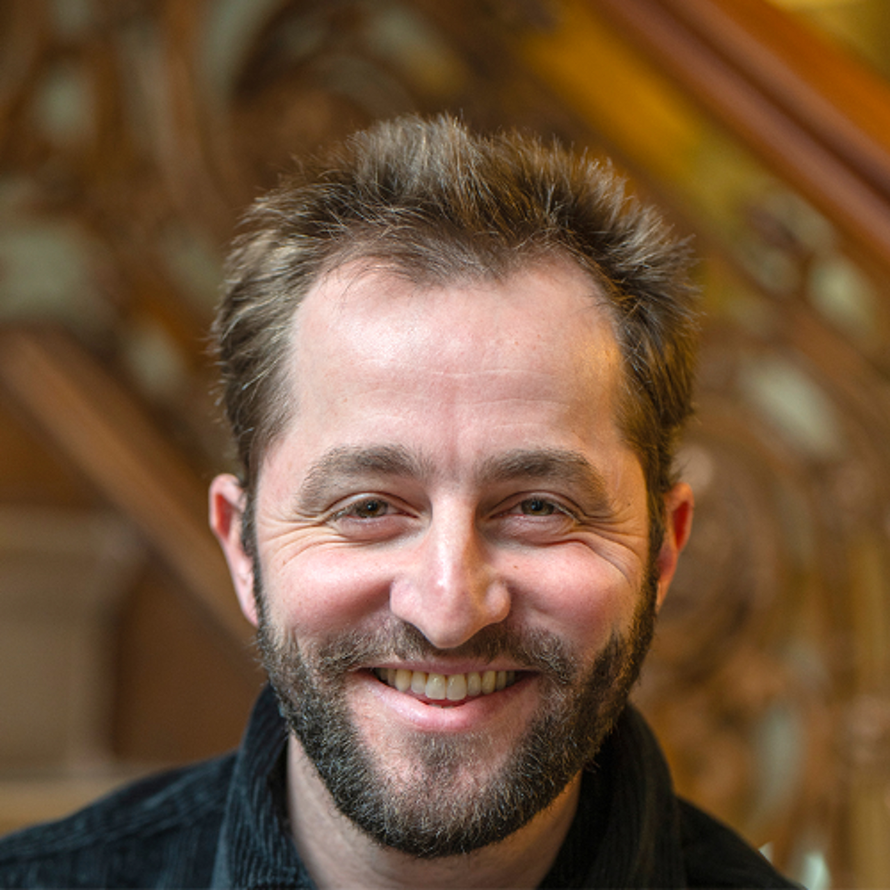
Mapping the Wreckage of War and Wildfires episode artwork

EPISODE · Feb 27, 2025 · 44 MIN

Mapping the Wreckage of War and Wildfires

from CUNY Graduate Center · host CUNY Graduate Center

In this episode of The Thought Project, we delve into the innovative work of Corey Scher, whose satellite mapping techniques provide crucial insights into the human and environmental costs of conflict and disaster — from the wars in Ukraine and Gaza to wildfires in Los Angeles. Scher, an Earth and Environmental Sciences Ph.D. candidate at the CUNY Graduate Center, uses sophisticated mapping methods to reveal how warfare and environmental catastrophes change the built and natural landscape. His work illustrates not only the damage to structures, such as hospitals, schools, office buildings, and homes, but also severe ecological disruption, including contamination of air, soil, and water. His maps, developed by harnessing satellite radar data, cloud computing, and advanced geospatial techniques, have been featured by The New York Times, the Financial Times, The Washington Post, BBC, and NPR, and other leading news outlets. His research is also cited in reports from international humanitarian organizations. Tune in as we discuss the critical role of modern Earth observation in understanding conflict and environmental change and explore pathways to recovery and accountability in today’s turbulent world. Listen now for new insights.

In this episode of The Thought Project, we delve into the innovative work of Corey Scher, whose satellite mapping techniques provide crucial insights into the human and environmental costs of conflict and disaster — from the wars in Ukraine and Gaza to wildfires in Los Angeles. Scher, an Earth and Environmental Sciences Ph.D. candidate at the CUNY Graduate Center, uses sophisticated mapping methods to reveal how warfare and environmental catastrophes change the built and natural landscape. His work illustrates not only the damage to structures, such as hospitals, schools, office buildings, and homes, but also severe ecological disruption, including contamination of air, soil, and water. His maps, developed by harnessing satellite radar data, cloud computing, and advanced geospatial techniques, have been featured by The New York Times, the Financial Times, The Washington Post, BBC, and NPR, and other leading news outlets. His research is also cited in reports from international humanitarian organizations. Tune in as we discuss the critical role of modern Earth observation in understanding conflict and environmental change and explore pathways to recovery and accountability in today’s turbulent world. Listen now for new insights.

NOW PLAYING

Mapping the Wreckage of War and Wildfires

0:00 44:01

No transcript for this episode yet

We transcribe on demand. Request one and we'll notify you when it's ready — usually under 10 minutes.

No similar episodes found.

No similar podcasts found.

Frequently Asked Questions

How long is this episode of CUNY Graduate Center?

This episode is 44 minutes long.

When was this CUNY Graduate Center episode published?

This episode was published on February 27, 2025.

What is this episode about?

In this episode of The Thought Project, we delve into the innovative work of Corey Scher, whose satellite mapping techniques provide crucial insights into the human and environmental costs of conflict and disaster — from the wars in Ukraine and Gaza...

Can I download this CUNY Graduate Center episode?

Yes, you can download this episode by clicking the download button on the episode player, or subscribe to the podcast in your preferred podcast app for automatic downloads.
URL copied to clipboard!