
EPISODE · Mar 4, 2024 · 17 MIN
Measuring the risks of sinking land with Manoochehr Shirzaei
from Curious Conversations · host Virginia Tech
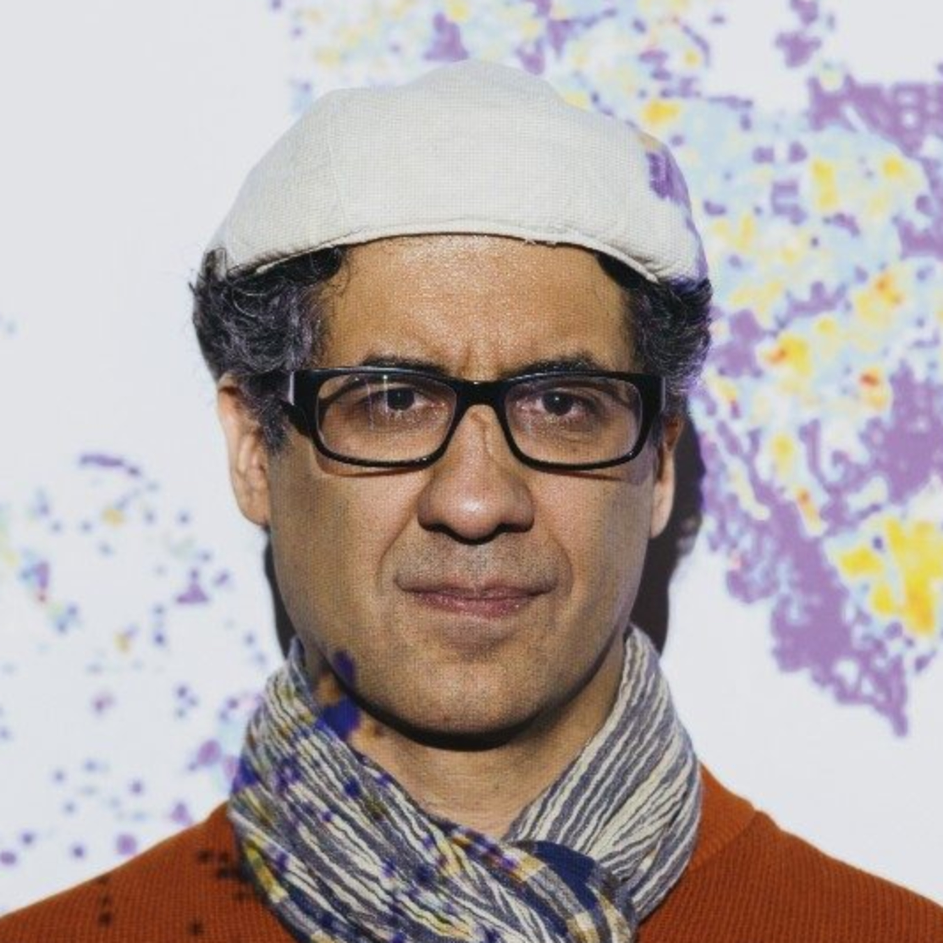
Manoochehr Shirzaei joined Virginia Tech’s “Curious Conversations” to talk about the importance of understanding and measuring sinking land, commonly called land subsidence. He shared insights about the use of satellite data in creating high resolution maps, how land subsidence fits into the overall picture of climate change, and how he hopes the information is used by localities. About Shirzaei Shirzaei is an associate professor of geophysics and remote sensing in the Department of Geosciences and the director of Virginia Tech’s Earth Observation and Innovation Lab. His research uses sophisticated space-, air-, and ground-based monitoring techniques to improve our understanding of seismic and aseismic faulting processes, the evolution of crustal stresses and seismic hazard due to fluid extraction and disposal, changes in groundwater and surface water resources, and impacts of relative sea-level rise on coastal areas. Chapters 02:17 - The Importance of Land Subsidence 05:09 - Understanding the Widespread Nature of Land Subsidence 06:04 - Using Satellite Data for Measurements 08:30 - Land Subsidence and Climate Change 09:35 - The Impact of Land Subsidence on Coastal Communities 12:13 - Including Land Subsidence in Models and Decision Making 15:11 - Causes of Land Subsidence 17:05 - Hope for the Future
Embed this episode
Ready to play
Measuring the risks of sinking land with Manoochehr Shirzaei
No transcript for this episode yet
Similar Episodes
No similar episodes found.
Similar Podcasts
No similar podcasts found.