
EPISODE · Aug 13, 2019 · 39 MIN
Prep Talk - Episode 36: Geographic Information Systems
from Prep Talk · host NYC Emergency Management
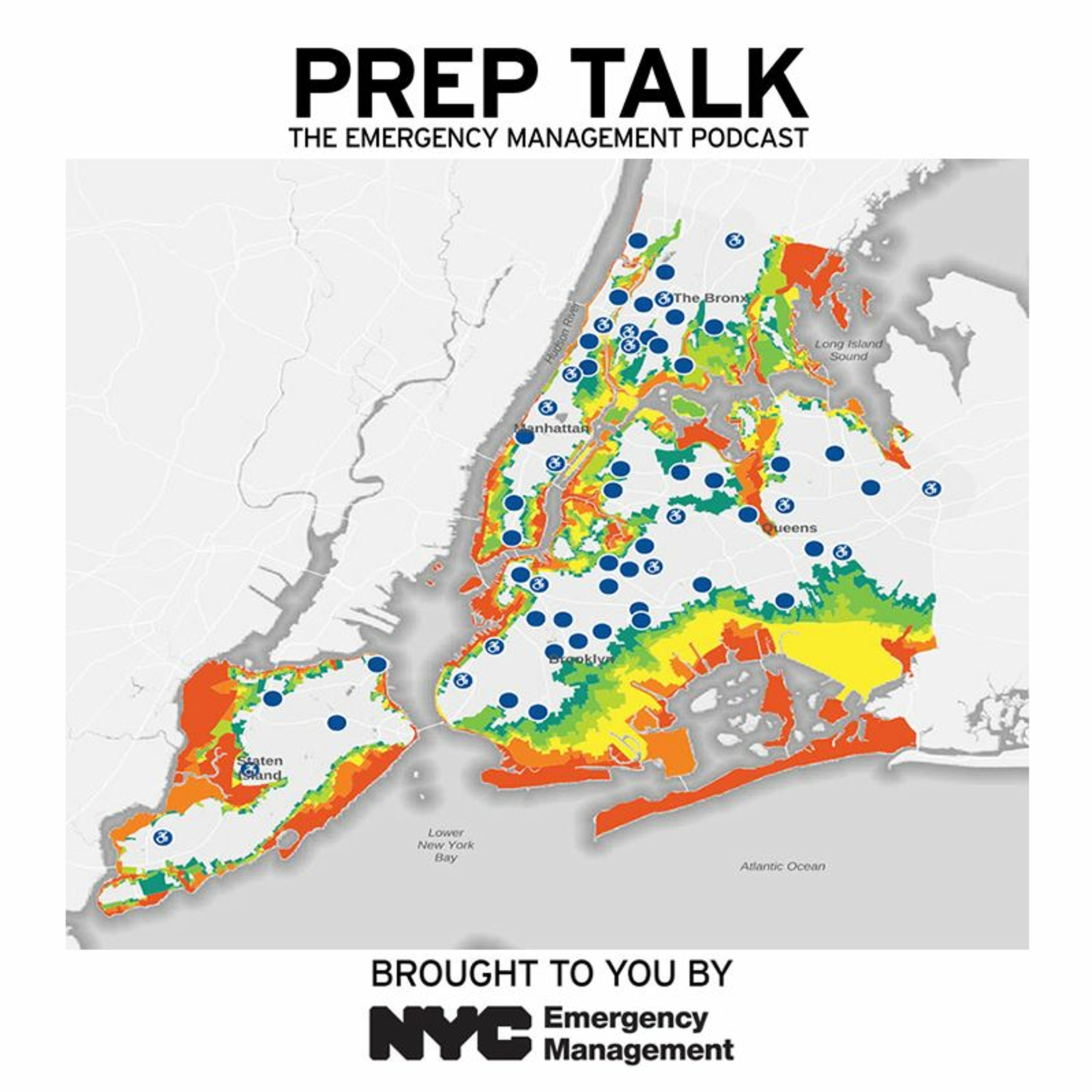
Not sure where your hurricane evacuation zone is located? There’s a map for that. On the latest episode of “Prep Talk,” Josh Friedman, executive director of Geographic Information Systems (GIS) at NYC Emergency Management, discusses the utility of GIS mapping in the emergency management field. He shared his insight into how experts use mapping for situational awareness before, during and after emergencies, as well as how everyday New Yorkers utilize mapping during their daily lives. Read full transcript: on.nyc.gov/preptalk36
Embed this episode
Ready to play
Prep Talk - Episode 36: Geographic Information Systems
No transcript for this episode yet
Similar Episodes
No similar episodes found.
Similar Podcasts
No similar podcasts found.