The Neptune Synthesis
from Drenthian Philosophy Hosted by C.T. Drenth
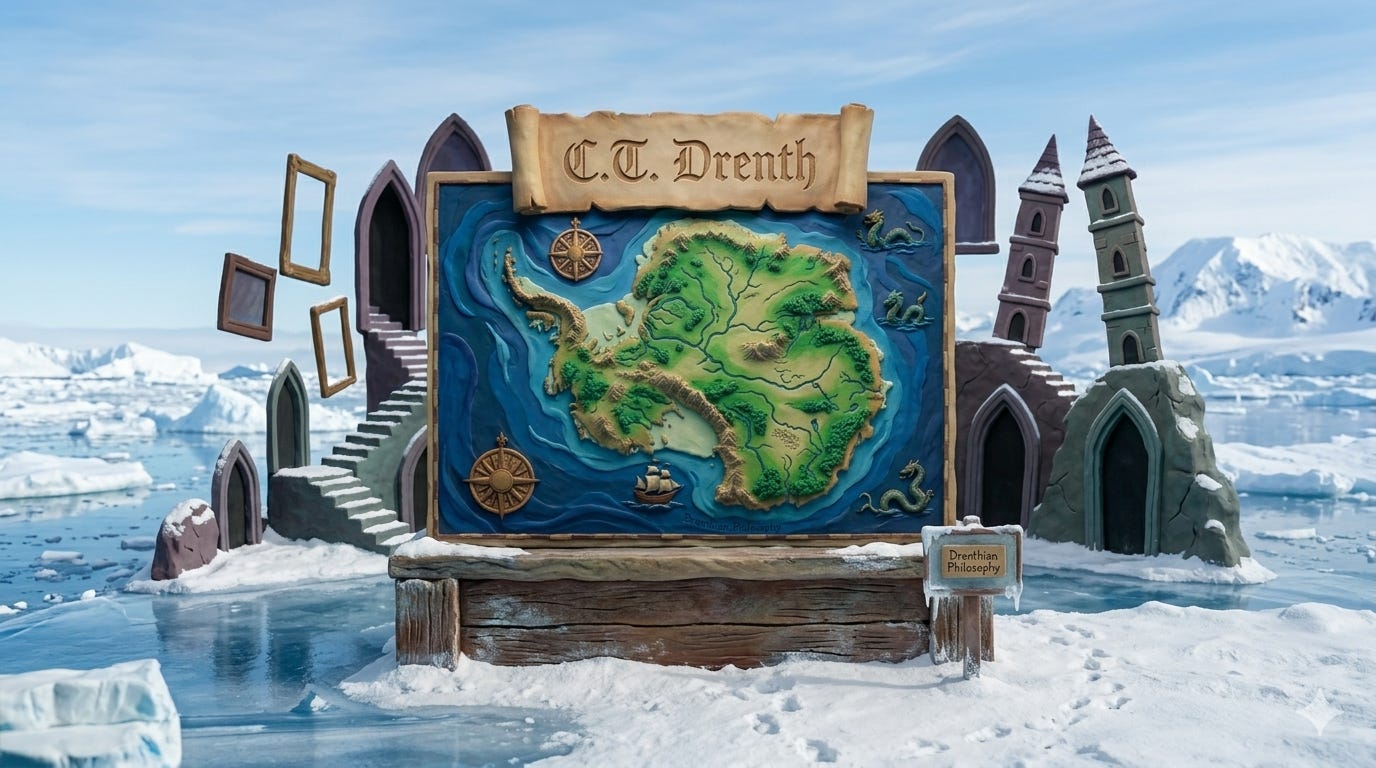
Ancient Maps & The Cured Fit Episode Summary In this episode, we dive into the "Mechanical Fallacy" that blinds modern archaeology. We explore how 16th-century maps, like the Piri Reis and Oronce Fine, depict an ice-free Antarctica with seismic accuracy. Is our history a linear progression of technology, or have we forgotten an era of "environmental intimacy"? Key Discussion Points The Zygarnic Effect: How anomalies in ancient cartography create a cognitive "open loop" for modern historians. The Global Seesaw: Analyzing the rapid crustal shifts and "Meltwater Pulse 1B" that redefined the Earth's face. The Wet Eye: A breakdown of how a hyper-saturated atmosphere allowed ancient navigators to see over the horizon via atmospheric refraction. The Cured Fit: Why megalithic structures were built to be submerged and "cured" by the immense pressure of rising oceans. Featured Anomalies Piri Reis (1513): Shows the sub-glacial Queen Maud Land. Oronce Fine (1531): Details Antarctic rivers and mountain ranges now under miles of ice. Philippe Buache (1737): Corrected the "ice-continent" myth by showing Antarctica as two distinct islands. Notable Quote "Modern man reads a circuit board as if it were a painting, having entirely forgotten the current." — C.T. Drenth Get full access to C.T. Drenth at ctdrenth.substack.com/subscribe
Embed this episode
No transcript yet.