
EPISODE · Jul 15, 2026 · 23 MIN
The Piri Reis Map: Do Ancient Maps Show an Ice-Free Antarctica?
from Mysteries of History
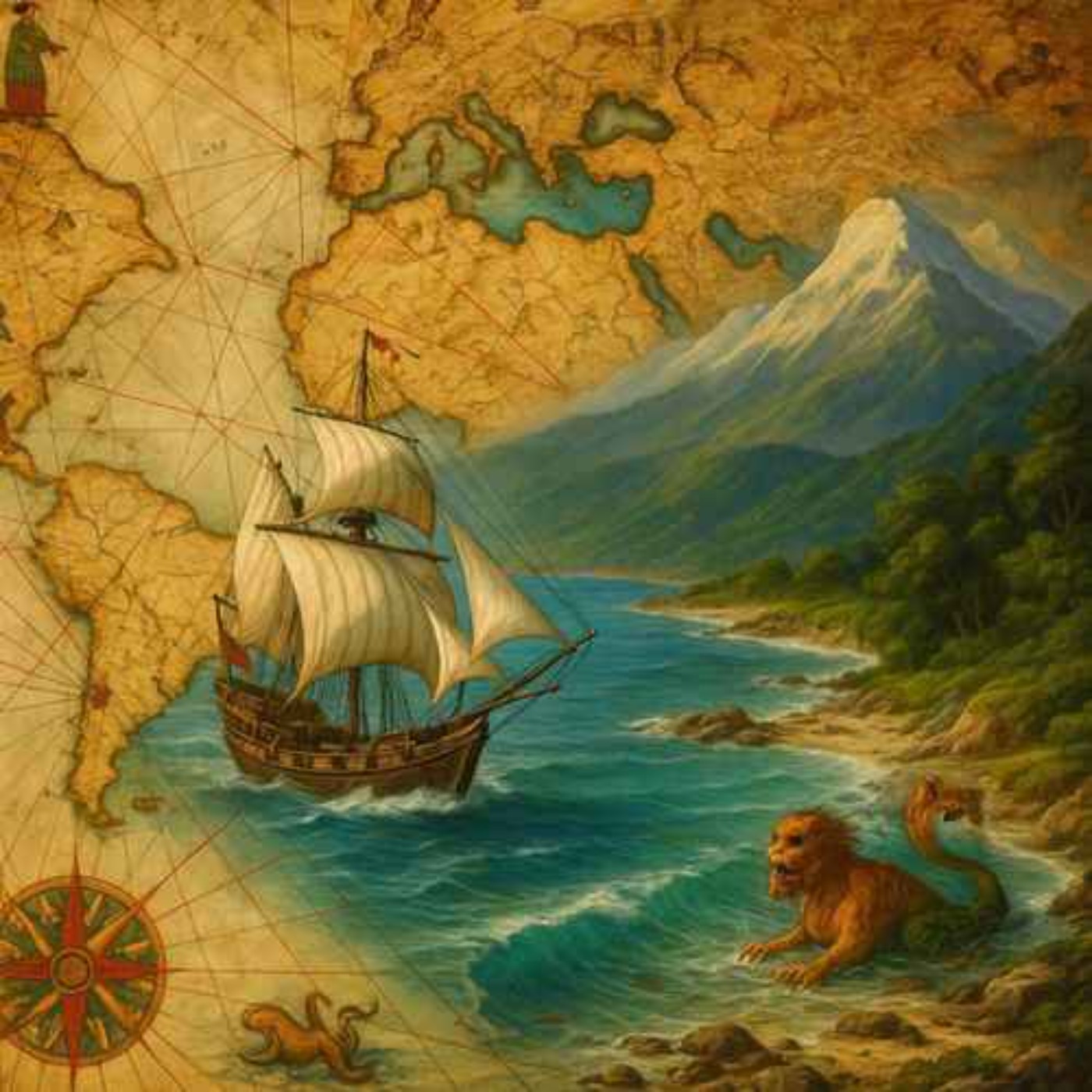
The Piri Reis map was drawn in 1513 by the Ottoman admiral and cartographer Piri Reis and depicts parts of Europe, Africa, and the coastlines of South America. It is known for being unusually detailed for its time and is said to have been based on around twenty older maps, including Portuguese maps and possibly some of Columbus's own. The map was drawn on gazelle skin and was discovered in 1929 at Topkapı Palace in Istanbul. Some claim that it shows Antarctica before it was covered in ice, which has led to theories about lost civilizations, but this is rejected by researchers, who argue that the southern sections are most likely distorted parts of South America. Today, it is one of the most debated maps in history and is used both as a historical document and as fuel for alternative-history theories. Hosted on Acast. See acast.com/privacy for more information.
Embed this episode
NOW PLAYING
The Piri Reis Map: Do Ancient Maps Show an Ice-Free Antarctica?
No transcript for this episode yet
Similar Episodes
No similar episodes found.
Similar Podcasts
No similar podcasts found.