Tom Herring on High-Precision Geodesy episode artwork

EPISODE · Oct 21, 2025 · 36 MIN

Tom Herring on High-Precision Geodesy

from Geology Bites · host Oliver Strimpel

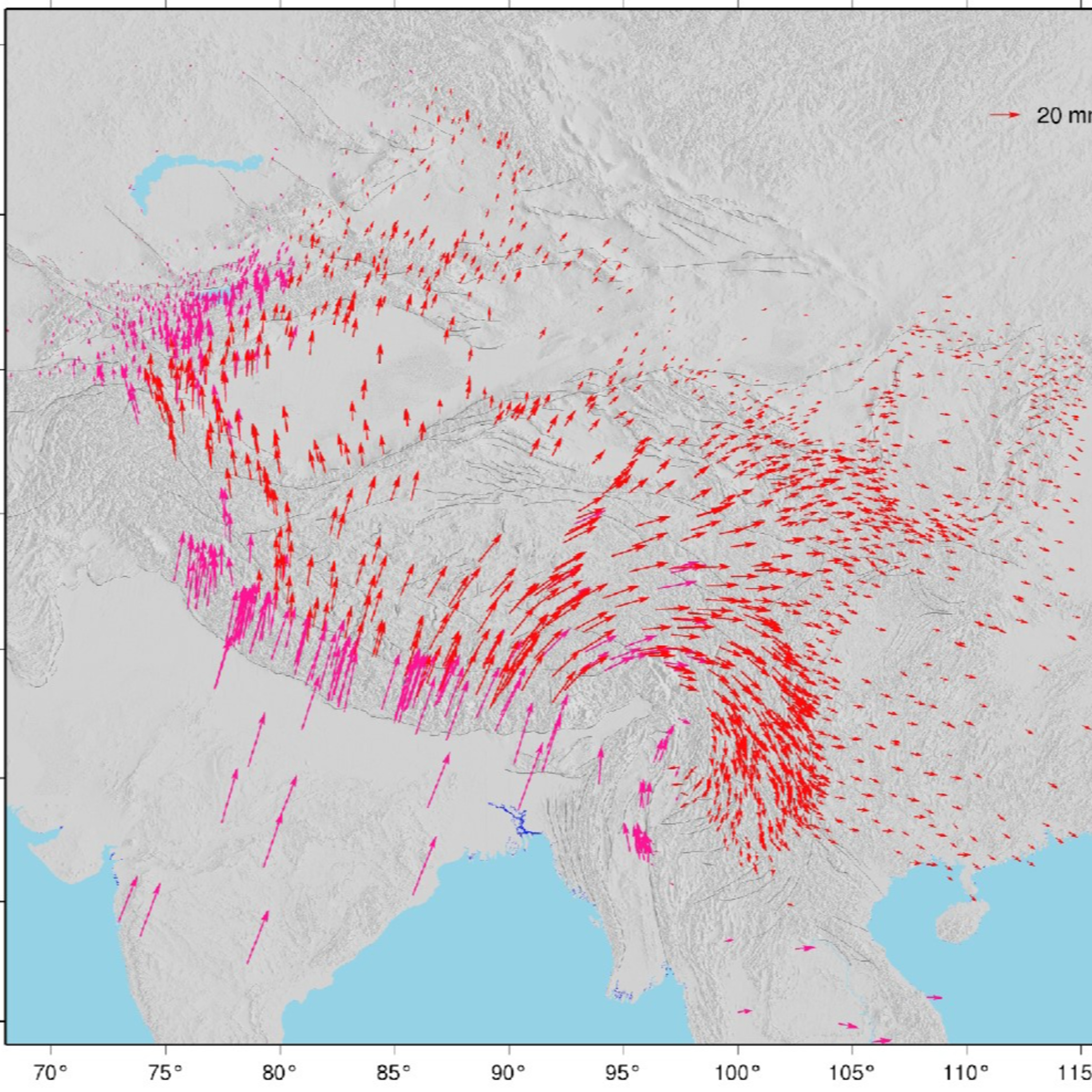
There are three main types of geodetic measurement systems — satellite-based systems such as GPS, very long baseline interferometry (VLBI), and interferometric synthetic-aperture radar (InSAR). While each type of systems has its particular strengths, the cost of satellite-based receivers has plummeted. Millimeter-level accuracy will soon be incorporated into phones. This has broadened the kinds of geological questions we can now address with such systems. In the podcast, Tom Herring describes how these systems are giving us new insight into plate motions, slow and fast deformation associated with faults and earthquakes, the Earth’s rotation, as well as applications in civil engineering, such as dams and tall buildings, and agriculture.Herring is a pioneer in high-precision geodetic analytical methods and applications for satellite-based navigation systems to study the Earth’s surface.  He is a Professor in the Earth, Atmospheric, and Planetary Sciences department at the Massachusetts Institute of Technology.

Episode metadata supplied by the publisher feed · Published Oct 21, 2025

There are three main types of geodetic measurement systems — satellite-based systems such as GPS, very long baseline interferometry (VLBI), and interferometric synthetic-aperture radar (InSAR). While each type of systems has its particular strengths, the cost of satellite-based receivers has plummeted. Millimeter-level accuracy will soon be incorporated into phones. This has broadened the kinds of geological questions we can now address with such systems. In the podcast, Tom Herring describes how these systems are giving us new insight into plate motions, slow and fast deformation associated with faults and earthquakes, the Earth’s rotation, as well as applications in civil engineering, such as dams and tall buildings, and agriculture.Herring is a pioneer in high-precision geodetic analytical methods and applications for satellite-based navigation systems to study the Earth’s surface.  He is a Professor in the Earth, Atmospheric, and Planetary Sciences department at the Massachusetts Institute of Technology.

PodParley-generated summary based on available episode metadata and transcript content.

NOW PLAYING

Tom Herring on High-Precision Geodesy

0:00 36:13

No transcript for this episode yet

We transcribe on demand. Request one and we'll notify you when it's ready — usually under 10 minutes.

Frequently Asked Questions

How long is this episode of Geology Bites?

This episode is 36 minutes long.

When was this Geology Bites episode published?

This episode was published on October 21, 2025.

What is this episode about?

There are three main types of geodetic measurement systems — satellite-based systems such as GPS, very long baseline interferometry (VLBI), and interferometric synthetic-aperture radar (InSAR). While each type of systems has its particular...

Can I download this Geology Bites episode?

Yes, you can download this episode by clicking the download button on the episode player, or subscribe to the podcast in your preferred podcast app for automatic downloads.
URL copied to clipboard!