EPISODE · Nov 6, 2023 · 12 MIN
Using NDVI for early Mallee Seeps ID
from MSF Farm Talk Podcast · host Mallee Sustainable Farming
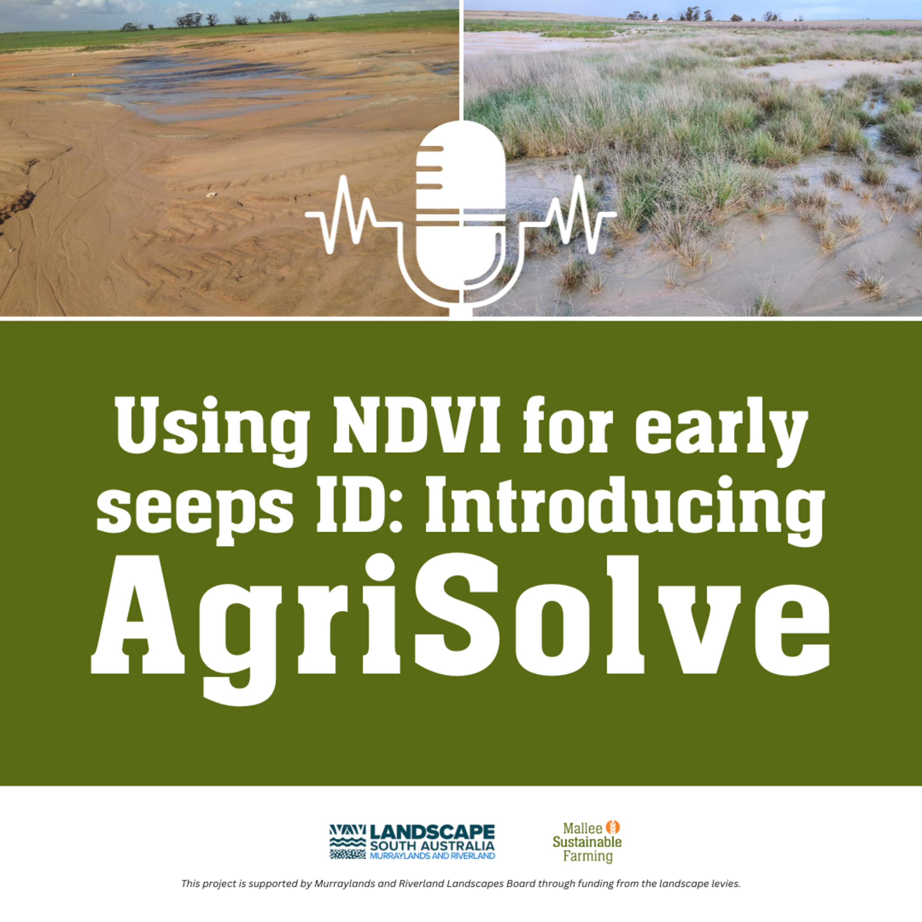
The episode discusses the issues of Mallee seeps and introduces a new digital support tool called AgriSolve. The new tool uses satellite NDVI maps for the early identification of Mallee seeps. This tool is a product of collaborative work between MSF and independent consultant Chris McDonough with funding from the Murraylands and Riverland Landscape Board Grassroots Grant. Chris and Tanja discuss the five key steps in assessing and managing Mallee seeps and the functionality of AgriSolve in aiding this process. The podcast concludes with an offer for listeners to reach out for personal assistance with their Mallee seep issues. 00:00 Introduction to NDVI Maps and Mallee Seeps01:32 Understanding Mallee Seeps and Their Identification03:17 Introduction to AgriSolve: A New Tool for Mallee Seep Management04:03 Steps for Mallee Seep Management05:59 Success Stories and Surprising Transformations in Mallee Seep Management08:43 Introduction to AgriSolve: A New Tool for Early Seep Identification08:59 How to Use AgriSolve for Mallee Seep Identification and Management11:42 Closing Remarks and Contact Information To view AgriSolve visit https://agrisolve.com.au/ To view the Mallee Seeps Decision tree visit https://msfp.org.au/mallee-seeps-decision-tree/ For more information on Mallee seeps or to seek independent advice for your own situation, contact MSF, [email protected] This project is supported by the Murraylands and Riverland Landscape Board through funding from the landscape levies. Support the show: https://msfp.org.au/about/membership/See omnystudio.com/listener for privacy information.
NOW PLAYING
Using NDVI for early Mallee Seeps ID
No transcript for this episode yet
Similar Episodes
Mar 26, 2026 ·1m
Jan 2, 2026 ·47m
Dec 21, 2025 ·46m