
EPISODE · Mar 3, 2026 · 20 MIN
weedSAT: how satellite imagery is being used to pinpoint weeds
from GRDC Podcast · host Grains Research and Development Corporation
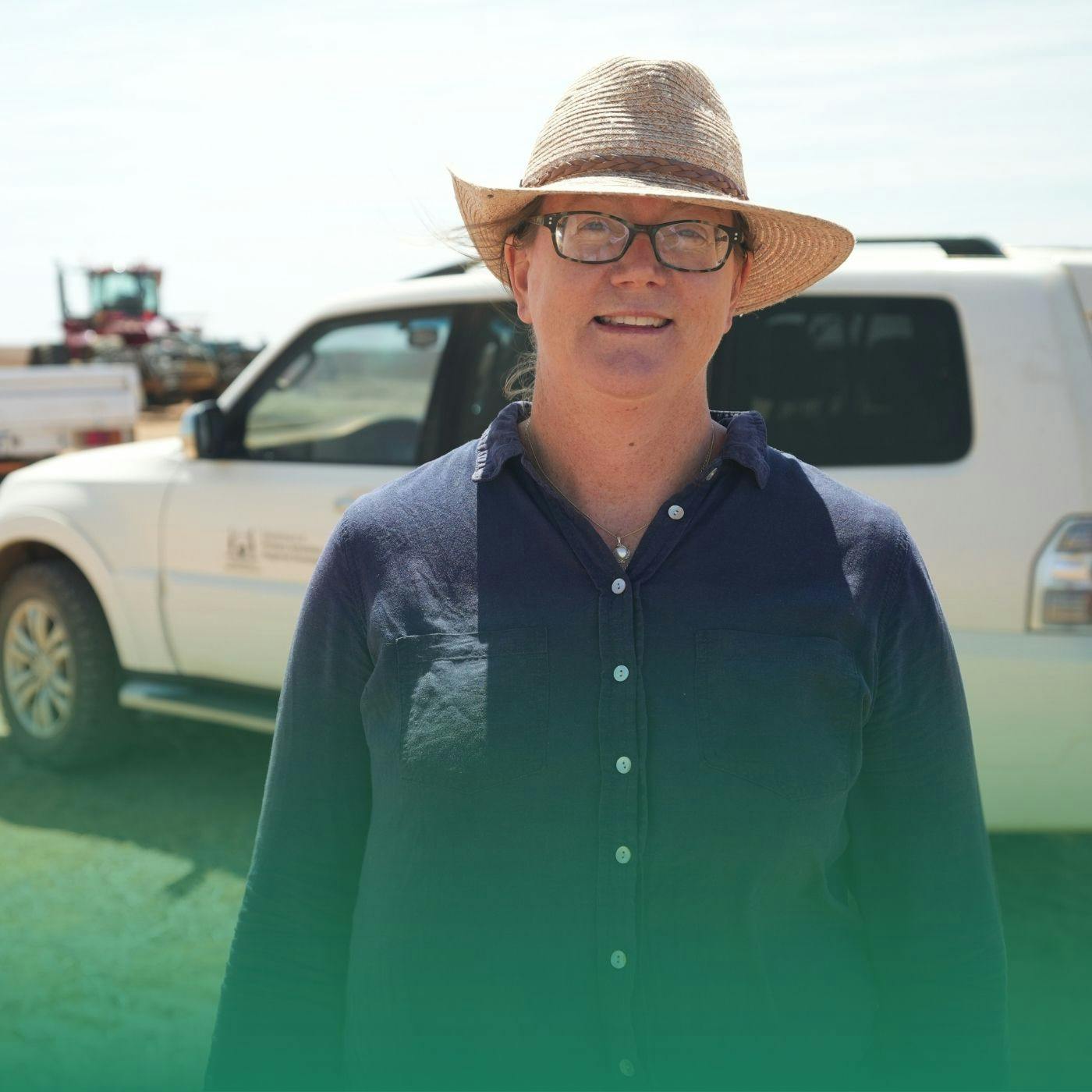
In this episode, Tim Neale from DataFarming explains a new precision ag tool, weedSAT. WeedSAT is a satellite-powered weed detection tool developed with investment from GRDC through the Grain Automate initiative. It uses high-resolution commercial satellite imagery to identify larger, hard-to-kill weeds across broadacre paddocks. This enables targeted spraying using existing boom spray section control systems before growers even enter the field. We also hear from Precision Ag consultant Bindi Isbister, who has been trialling the technology with Western Australian growers with good success. Contacts: Tim Neale Datafarming [email protected] Bindi Isbister Agrarian Management [email protected] More Information: Satellites deployed to pintpoint summer weeds weedSAT turning your conventional boom into a spot sprayer using ultra high resolution satellite imagery Project Investment Code: DFL2304-002RTX Learn more about your ad choices. Visit megaphone.fm/adchoices
Embed this episode
NOW PLAYING
weedSAT: how satellite imagery is being used to pinpoint weeds
No transcript for this episode yet
Similar Episodes
Jan 27, 2024 ·12m
Jan 19, 2024 ·9m
Jan 18, 2024 ·5m
Jan 14, 2024 ·6m
Jan 5, 2024 ·7m
Similar Podcasts
No similar podcasts found.