
EPISODE · Dec 15, 2025 · 14 MIN
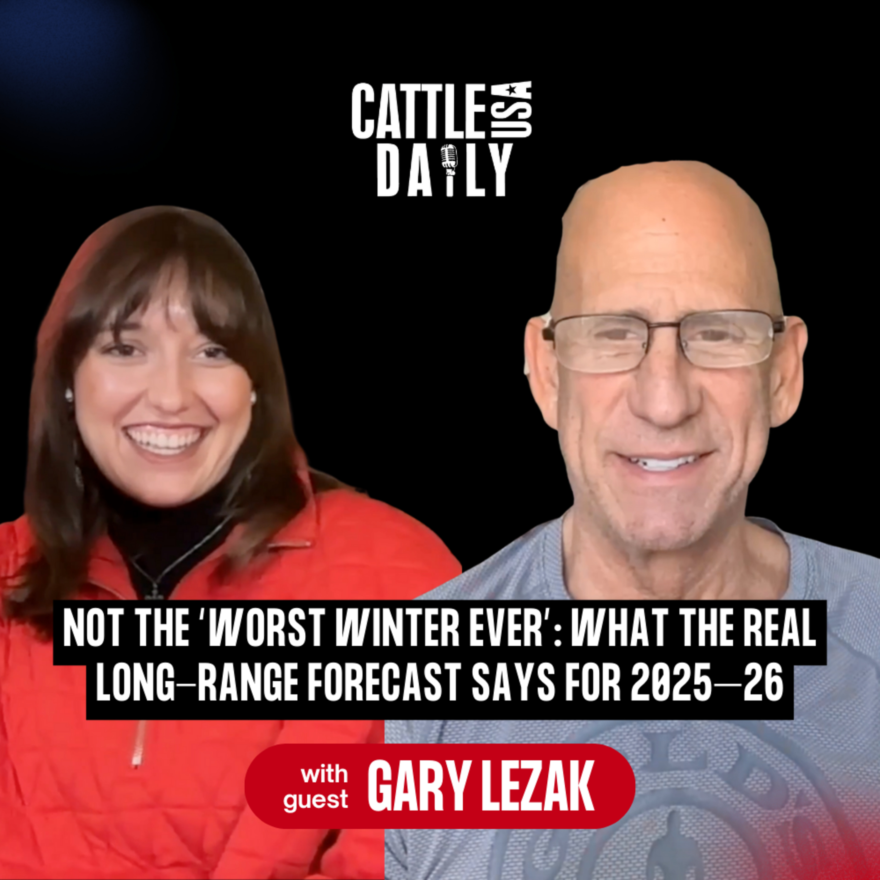
220: Not the “Worst Winter Ever”: What the Real Long-Range Forecast Says for 2025–26 with Gary Lezak
from CattleUSA Daily · host Lauren Moylan | Cattle USA
This winter’s atmosphere is officially locked in, and it is not the pattern a lot of people were hoping for. In this episode, meteorologist Gary Lezak joins host Lauren Moylan to unpack the new Lezak Recurring Cycle, why the Colorado Rockies are sitting on roughly 40% of normal snowpack, and what that means for drought risk across Nebraska, Kansas, and the broader ag belt. Gary Lezak explains the two main phases driving this year’s weather, why social media “apocalypse” forecasts are missing the mark, and how farmers and ranchers can use the LRC to plan moisture, planting windows, and storm risk from now through spring.LinksWeather 20/20 Dashboard Discount - https://www.weather2020.com/partner/cattle-usaSubstack - https://weather2020.substack.com/The Global Predictor App - https://www.weather2020.com/global-predictor-mobile-appYoutube -https://www.youtube.com/@Weather2020Follow Gary on X - https://x.com/glezak CattleUSA Insurance - https://info.cattleusainsurance.com/l/1102253/2025-06-04/288f5mCattleUSA Website - https://www.cattleusa.com/Facebook - https://www.facebook.com/cattleusamediaInstagram - https://www.instagram.com/cattleusa.media/Subscribe to our newsletter - https://www.cattleusadrive.com/CattleUSA Media - https://www.cattleusamedia.com/Lauren’s Instagram - https://www.instagram.com/_laurenmoylan/Lauren’s Youtube - https://www.youtube.com/@ShowboatmediacoThe Next Generation Podcast Website - https://www.thenextgenag.com/Takeaways• Drought areas are not shrinking yet; whether dryness expands across Nebraska, Kansas, and Missouri will be decided in the next 2–3 months.• The first phase favors Alberta Clippers and heavy Great Lakes snow; cities like Chicago could end up with well above-normal totals.• The second phase shifts the jet into the West Coast, sending storms into California and occasionally into the central plains.• Colorado’s ski country is sitting at roughly 40% of average snowpack, a red flag for fire season, runoff, and long-term water supply.• Western Nebraska and western Kansas sit on the edge of a potentially dry corridor that needs to be watched closely through winter.• Despite online hype about “the worst winter ever,” the pattern so far has produced brief cold shots followed by strong warmups.• The LRC gives a framework to map which weeks are likely wetter or drier from January–May, giving agriculture a planning edge.• A stronger phase-two jet in late December and again in mid-January/mid-February could bring a significant plains storm or ice event.• Long-range confidence grows over the next few weeks as more cycles complete, sharpening forecasts for planting and early growing season.Chapters00:00 Road Trips, Dogs, and Tumbleweeds: Gary Lezak Checks In from Colorado02:35 First Big Question: Is This Pattern Setting Up a Major Drought?03:30 Two Phases of the New LRC: Clippers North, Questions for the Plains04:35 Thin Snowpack in Colorado and What It Signals for Fire and Drought Risk06:28 How This Winter Pattern Could Shape Nebraska–Kansas Moisture07:34 Weather Hype vs. Reality: Social Media Forecasts and Actual Data08:57 What We’ve Seen So Far: Cold Shots, Fast Warmups, and No “Monster” Blizzard Yet09:35 Why Spring Moisture Still Matters Most for the Ag Belt10:41 Watching Phase Two: Holiday Storm Potential and a Maybe-White Christmas11:40 Driving Through Cattle Country: Ground-Level Perspective from Nebraska and Kansas12:42 Waiting on the West Coast Storm Door to Open Again13:18 Where to Find the Full 40-Page Winter Forecast and Weather 2020 Resourceswinter weather, long-range forecast, Lezak Recurring Cycle, LRC, drought risk, Colorado snowpack, Great Lakes snow, Alberta Clippers, California storms, ice storm potential, Nebraska weather, Kansas weather, agricultural planning, Weather 2020, seasonal forecast, planting season outlook, moisture patterns, cattle country weather
Embed this episode
NOW PLAYING
220: Not the “Worst Winter Ever”: What the Real Long-Range Forecast Says for 2025–26 with Gary Lezak
No transcript for this episode yet
Similar Episodes
No similar episodes found.
Similar Podcasts
No similar podcasts found.