
EPISODE · May 27, 2026 · 11 MIN
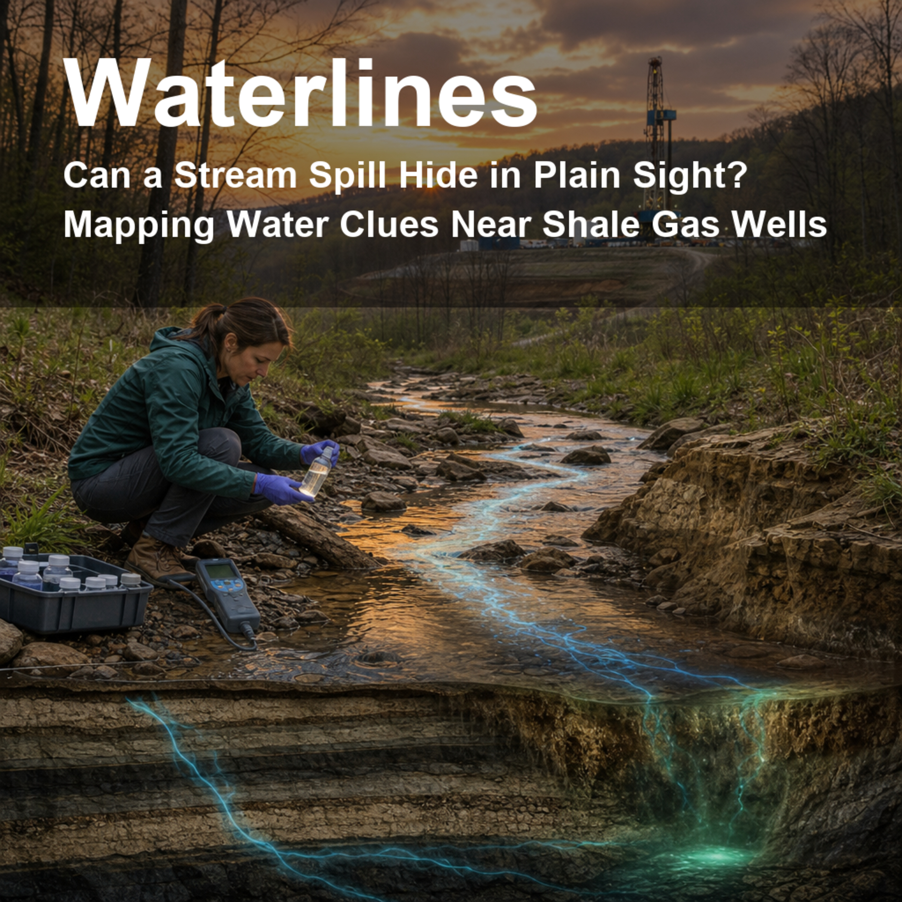
Can a Stream Spill Hide in Plain Sight? Mapping Water Clues Near Shale Gas Wells
from Waterlines: How Water Shapes Our World · host jaywen
When something spills near a stream, the question people care about is simple: did it reach the water? The answer is rarely simple. Creeks twist through hills, sampling stations are scattered, and public reports may arrive long before any chemistry data can confirm what happened. This episode follows researchers who built GeoNet, a geospatial tool that treats streams like connected neighborhoods and compares water chemistry upstream and downstream of reported shale gas spills in Pennsylvania. We unpack why sodium and chloride can act like long-lasting clues, why sparse monitoring can miss real events, and why “not detected” is not the same as “nothing happened.” Along the way, we talk about public trust, sensor networks, and what it would take to spot contamination faster in real watersheds.Citation: Agarwal, Amal; Wen, Tao; Chen, Alex; Zhang, Anna Yinqi; Niu, Xianzeng; Zhan, Xiang; Xue, Lingzhou; and Brantley, Susan L. “Assessing Contamination of Stream Networks near Shale Gas Development Using a New Geospatial Tool.” Environmental Science & Technology 2020, 54, 8632–8642. https://doi.org/10.1021/acs.est.9b06761Disclosure: This Waterlines episode uses AI-generated voices for the hosts.
Embed this episode
NOW PLAYING
Can a Stream Spill Hide in Plain Sight? Mapping Water Clues Near Shale Gas Wells
No transcript for this episode yet
Similar Episodes
No similar episodes found.
Similar Podcasts
No similar podcasts found.