
EPISODE · Dec 5, 2024 · 52 MIN
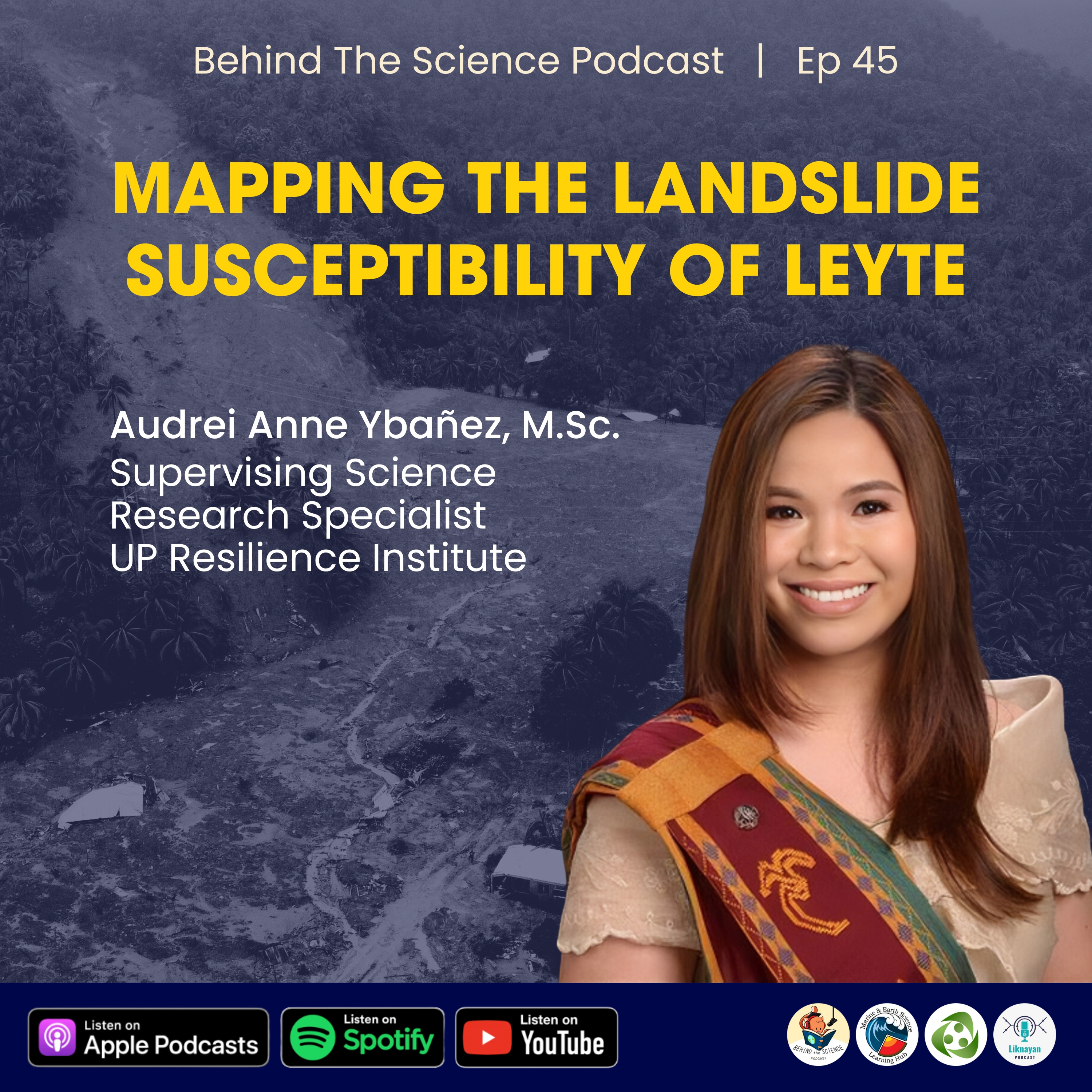
Ep46 - Mapping the landslide susceptibility of Leyte
from Behind The Science Podcast · host Behind The Science Podcast and The Pod Network Entertainment
Guest Speaker: Audrei Anne Ybañez, M.Sc. Supervising Science Research Specialist UP Resilience Institute Ms. Ybañez shares how they produced landslide susceptibility maps downscaled to the community-level for the entire Leyte province using remote sensing, numerical modelling, and GIS. Research spotlight: Eco R, Aquino D, Lagmay A et al (2015) Landslide and debris flow susceptibility mapping of Leyte Province, Philippines using remote sensing, numerical modelling, and GIS. J Philipp Geosci Remote Sens Soc 1:53–71 #BehindTheSciencePodcast is presented to you by Marine & Earth Science Learning Hub, UP Resilience Institute, and Liknayan Podcast.
Embed this episode
Ready to play
Ep46 - Mapping the landslide susceptibility of Leyte
No transcript for this episode yet
Similar Episodes
No similar episodes found.
Similar Podcasts
No similar podcasts found.