
EPISODE · Jan 30, 2024 · 42 MIN
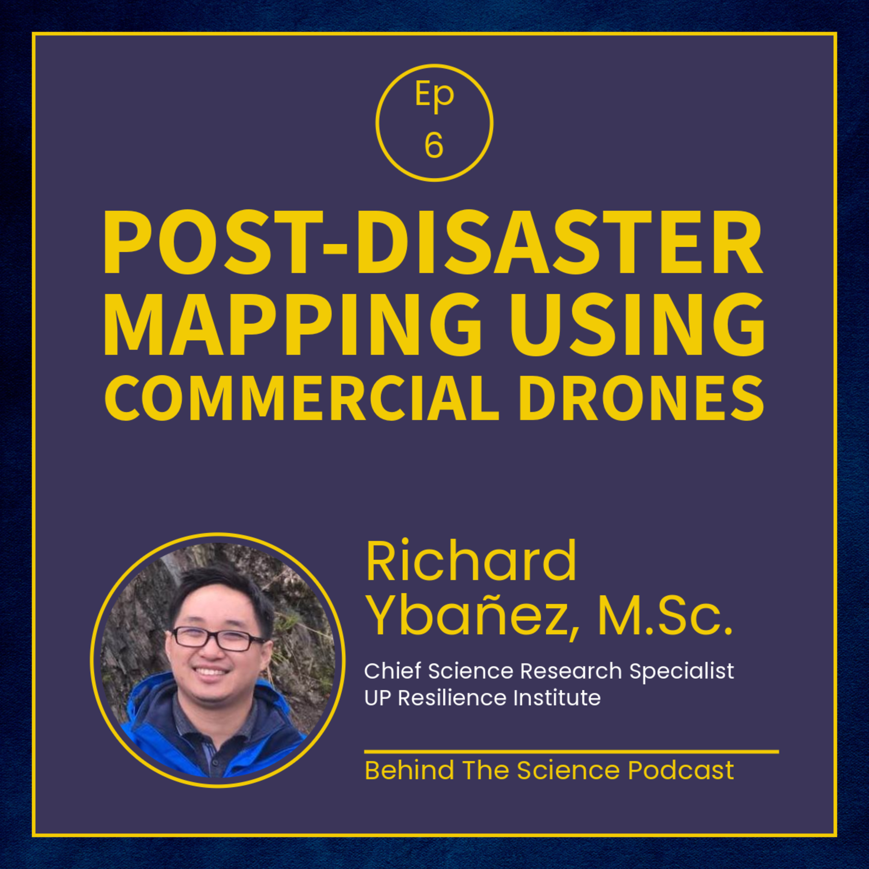
Ep6 - Using drones for post-disaster mapping
from Behind The Science Podcast · host Behind The Science Podcast and The Pod Network Entertainment
Mr. Richard Ybañez, M.Sc. of the UP - Resilience Institute shares his experience with using commercial drones for their quick response assessment after the 2019 Central Luzon Earthquake, 2019 Cotabato Earthquakes, and 2020 Taal Eruption. Featured article: Ybañez RL et al. 2021. Imaging ground surface deformations in post-disaster settings via small UAVs. Geoscience Letters, 8(1), 23. This episode is co-presented by the UP Diliman College of Science, and the UP Resilience Institute.
Embed this episode
Ready to play
Ep6 - Using drones for post-disaster mapping
No transcript for this episode yet
Similar Episodes
No similar episodes found.
Similar Podcasts
No similar podcasts found.