Geography and Geology
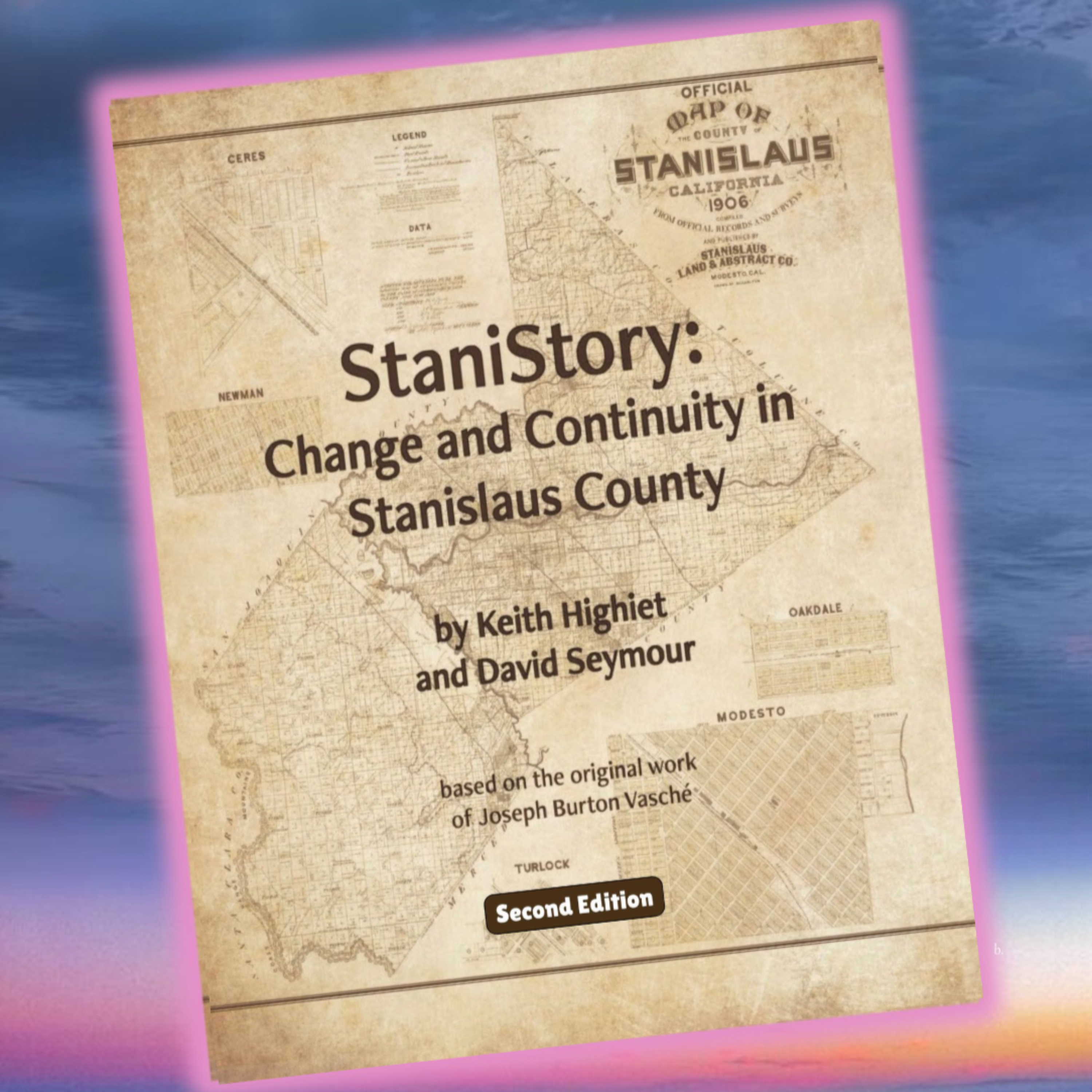
from StaniStory: Change and Continuity in Stanislaus County Hosted by McHenry Museum and Historical Society of Modesto, California
Read by Mary Lou Dieterich, Stanislaus County is almost 1,500 square miles in size, stretching from the lower foothills of the Sierra Nevada across the San Joaquin Valley (part of the Central Valley) floor and deep into the Diablo Range (part of the Coast Ranges of California). The Stanislaus River and Tuolumne River flow east to west from the Sierra. They are tributaries to the San Joaquin River, which flows northward along the valley floor as it reaches the Delta. There are three large man-made reservoirs (lakes used as a source of water supply when it’s needed) on the eastern side of the county: Modesto Reservoir, Turlock Lake, and Woodward Reservoir.
Embed this episode
No transcript yet.