
EPISODE · May 25, 2022 · 8 MIN
SLAM fused with Satellite Imagery (ICRA 2022)
from RobotsPodcast · host Robots Podcast
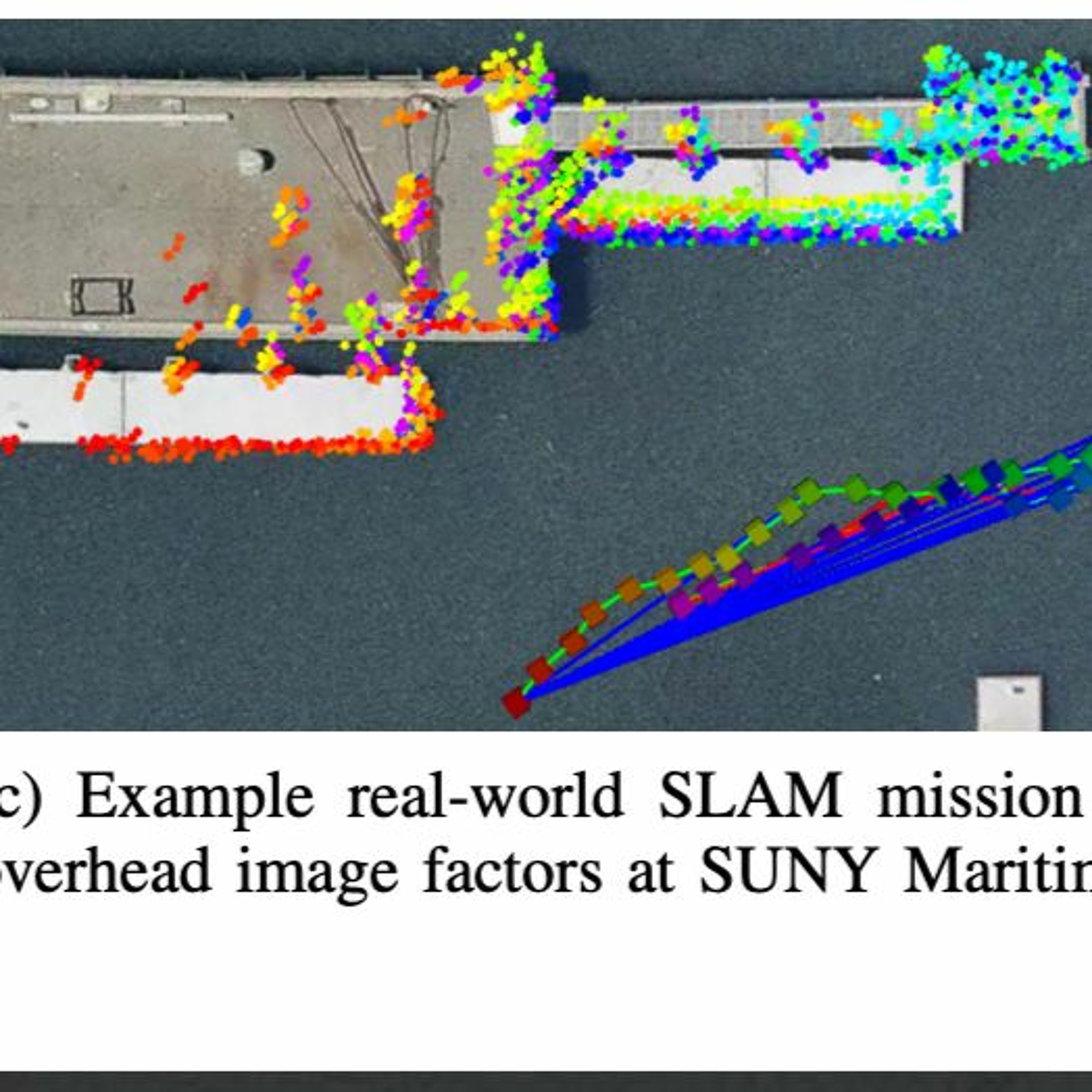
Underwater Autonomous Vehicles face challenging environments where GPS Navigation is rarely possible. John McConnell discusses his research, presented at ICRA 2022, into fusing overhead imagery with traditional SLAM algorithms. This research results in a more robust localization and mapping, with reduced drift commonly seen in SLAM algorithms. Satellite imagery can be obtained for free or low cost through Google or Mapbox, creating an easily deployable framework for companies in industry to implement.
Embed this episode
NOW PLAYING
SLAM fused with Satellite Imagery (ICRA 2022)
No transcript for this episode yet
Similar Episodes
No similar episodes found.
Similar Podcasts
No similar podcasts found.