
EPISODE · Sep 7, 2026 · 12 MIN
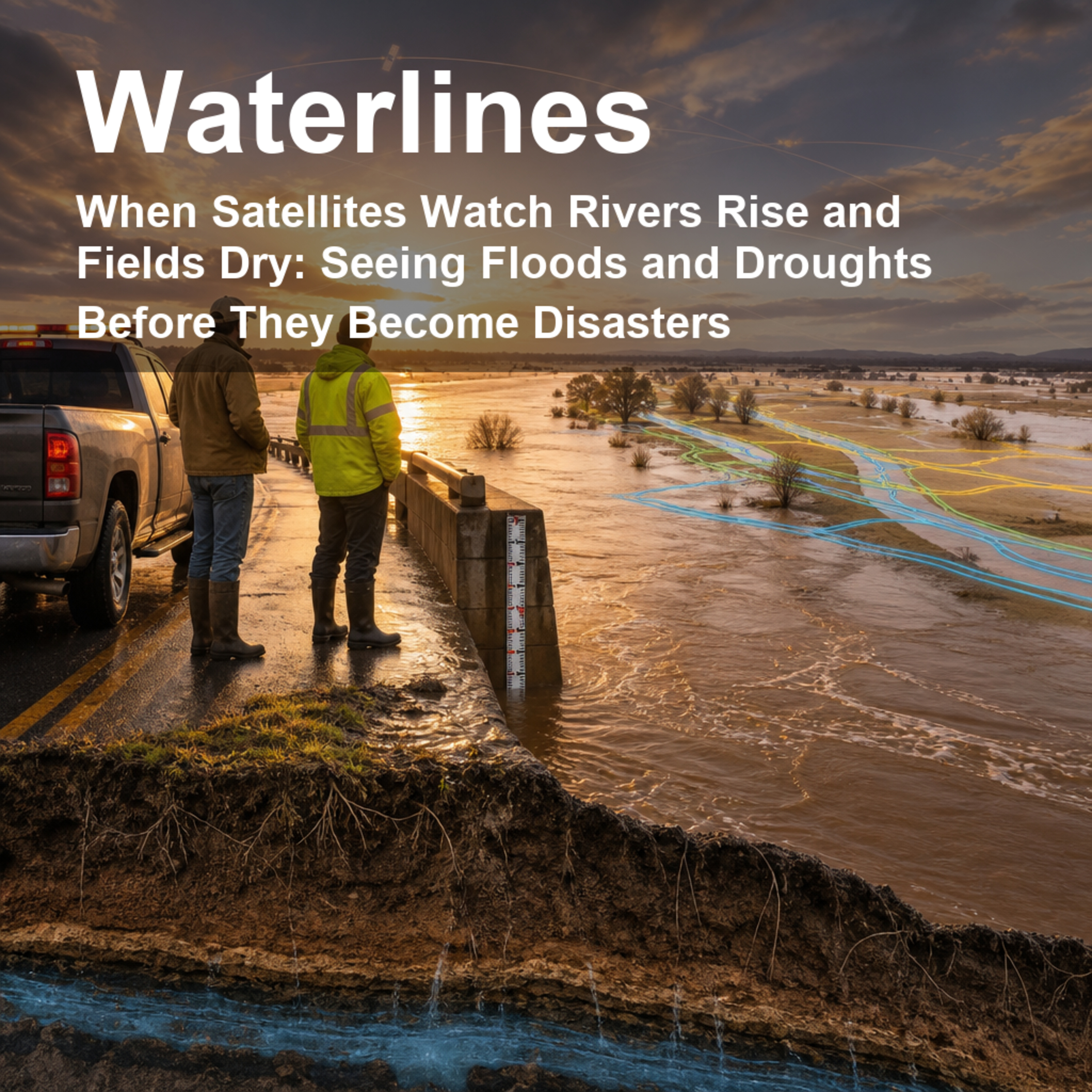
When Satellites Watch Rivers Rise and Fields Dry: Seeing Floods and Droughts Before They Become Disasters
from Waterlines: How Water Shapes Our World · host jaywen
Takeaway: Satellites do not replace people on the ground, but they can show the shape of missing or overflowing water when gauges are too few, too late, or too far apart.Floods can arrive overnight; droughts can creep in for months before anyone agrees what to call them. This episode matters because communities, farmers, emergency managers, insurers, and water planners all need the same thing: a clearer picture of where water is, where it is missing, and how fast conditions are changing. We explore how satellites help fill the gaps between river gauges, rain stations, soil probes, and field reports—especially in places where ground data are sparse or disasters unfold across huge regions.Using the edited scientific volume Remote Sensing of Hydrological Extremes as our guide, we unpack how different satellites “see” water: optical sensors that spot dark floodwater, microwave instruments that can work through clouds, radar that detects flooded forests, gravity missions that weigh changes in underground and surface water storage, and vegetation signals that reveal drought stress in crops and ecosystems. We visit examples from the Magdalena River in Colombia, snowmelt flooding in the Red River of the North, NASA global flood maps, Congo floodplain hydraulics, Southeast Asia flood impacts, and drought monitoring in Brazil, China, and the western United States.We also keep the science honest: satellite maps can miss water under trees, confuse cloud shadows with floods, struggle with coarse pixels, or need careful calibration with models and field data. But when used thoughtfully, they can turn scattered clues into practical warning and recovery information.Citation: Lakshmi, V. (ed.). Remote Sensing of Hydrological Extremes. Springer Remote Sensing/Photogrammetry. Springer International Publishing Switzerland, 2017. https://doi.org/10.1007/978-3-319-43744-6Disclosure: This Waterlines episode package is designed for production with AI-generated voices.
Embed this episode
NOW PLAYING
When Satellites Watch Rivers Rise and Fields Dry: Seeing Floods and Droughts Before They Become Disasters
No transcript for this episode yet
Similar Episodes
No similar episodes found.
Similar Podcasts
No similar podcasts found.