
EPISODE · May 27, 2026 · 11 MIN
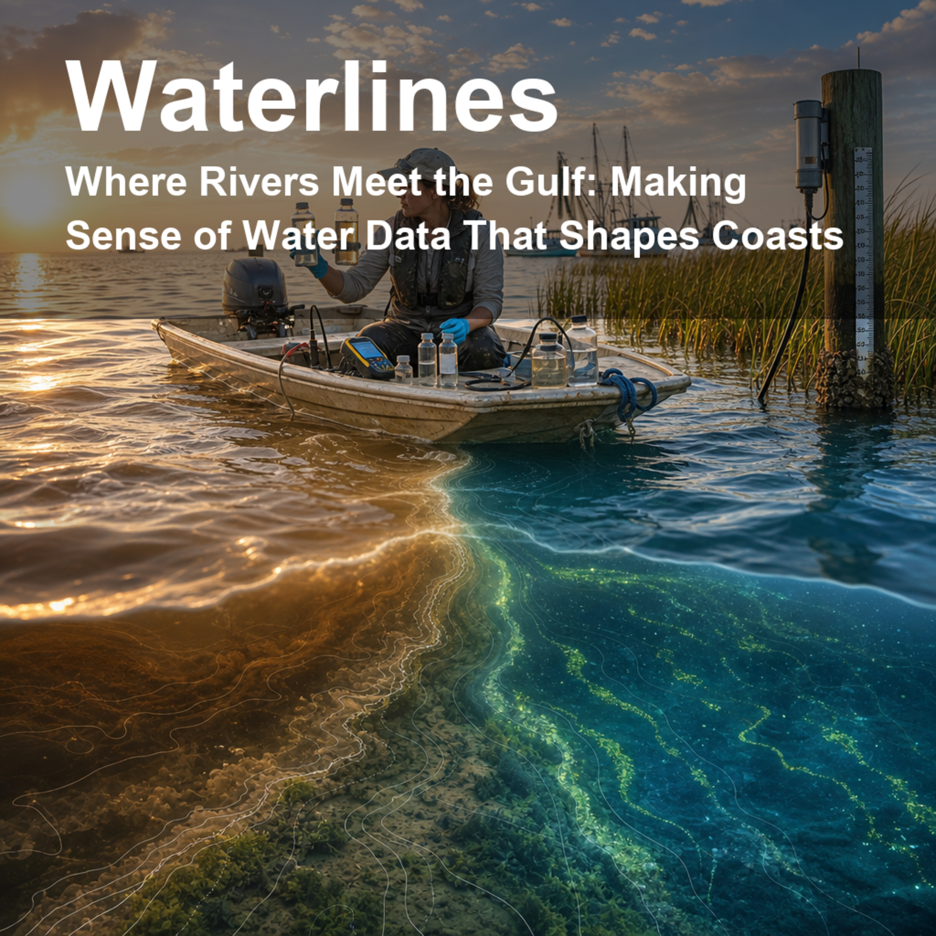
Where Rivers Meet the Gulf: Making Sense of Water Data That Shapes Coasts
from Waterlines: How Water Shapes Our World · host jaywen
Rivers do not stop being important when they reach the ocean. Along the northern Gulf of Mexico, more than 50 rivers carry fresh water, nutrients, metals, salts, and signals of human activity into one of the most economically and ecologically important coastal regions in the United States. This episode explores why understanding that river-to-ocean handoff matters for fisheries, algal blooms, coastal acidification, hurricane recovery, pollution tracking, and everyday decisions about water and land.We unpack a new public database called ROcD-nGoM, which brings together river chemistry, river flow, ocean measurements, and satellite chlorophyll data for the northern Gulf of Mexico. Instead of treating rivers and the Gulf as separate worlds, the researchers built a shared data “meeting place” that helps scientists ask clearer questions: What is each river delivering? How do nutrients and carbon change through time? Where might coastal waters be more vulnerable? And how can messy public data become more reusable without pretending uncertainty disappears?Citation: Armos, B., Zhang, S., Wen, T., Walker, E. & Daripa, P. “A harmonized river-ocean coupled database for the northern Gulf of Mexico.” Scientific Data 11, 1449 (2024). https://doi.org/10.1038/s41597-024-04338-1Disclosure: This Waterlines episode uses AI-generated voices. The script is written to translate the science for general listeners and should not replace the original paper or dataset documentation.
Embed this episode
NOW PLAYING
Where Rivers Meet the Gulf: Making Sense of Water Data That Shapes Coasts
No transcript for this episode yet
Similar Episodes
No similar episodes found.
Similar Podcasts
No similar podcasts found.