
EPISODE · Jun 12, 2026 · 11 MIN
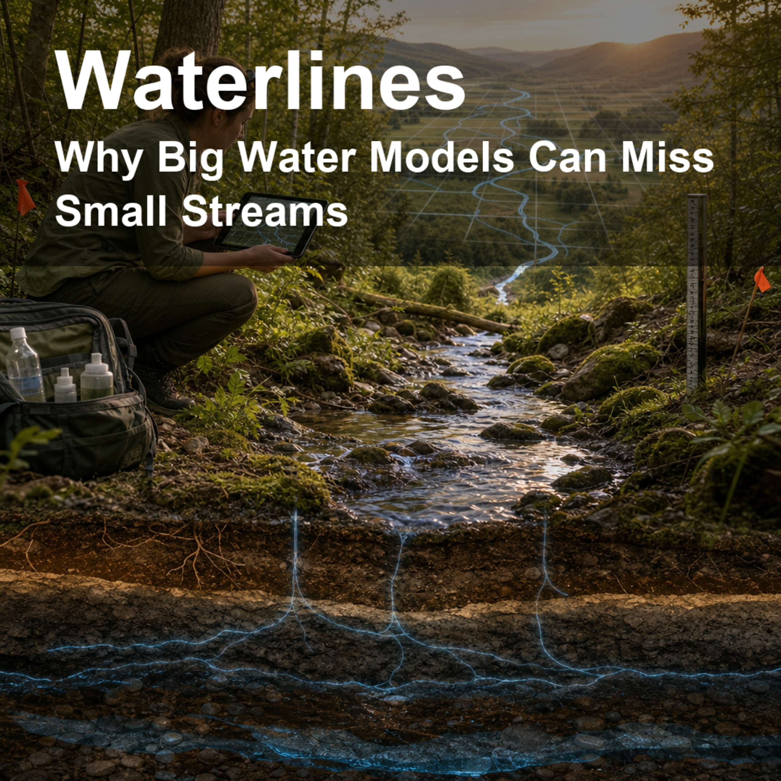
Why Big Water Models Can Miss Small Streams
from Waterlines: How Water Shapes Our World · host jaywen
Takeaway: If the map squares are too big, a model can turn a living web of headwater streams into a blur, even before the water math begins.A national water model is a little like a weather map for groundwater: it helps people see patterns too large to notice from one well, one creek, or one town. But every model has a grain, and this episode asks a wonderfully practical question: how big can the squares on that map be before small streams disappear into the blur? We follow a USGS team as they test how grid-cell size changes the way stream networks are represented across 18 river basins in the conterminous United States, from the Delaware to the San Joaquin to southern Florida. The result is a clear lesson for anyone who cares about drought planning, groundwater pumping, streamflow, wetlands, fish habitat, or climate-ready water decisions: before the equations start, the map itself can decide what water connections are visible. Citation: Fleming, B.J., Belitz, K., and Killian, C.D. 2025. Consideration of Grid Cell Size to Represent Stream Networks for the Conterminous United States. Groundwater 63, no. 3: 301–305. https://doi.org/10.1111/gwat.13484. This Waterlines episode uses AI-generated voices to present and discuss the science.
Embed this episode
NOW PLAYING
Why Big Water Models Can Miss Small Streams
No transcript for this episode yet
Similar Episodes
No similar episodes found.
Similar Podcasts
No similar podcasts found.